
Silale Crater
Silale Crater 展现的是巴林戈地下深处的地热力量。游客来到这里,看到的不只是热泉、火山口或山体轮廓,而是大裂谷构造运动在地表留下的痕迹。
巴林戈县的自然景观并不是彼此孤立的。Lake Baringo、Lake Bogoria、河谷、温泉、喷气孔、水库和季节性河流,共同构成了大裂谷北段很有辨识度的水文与地热系统;理解这一点,现场看到的湖面、水汽、岩层和村镇才会变得有逻辑。
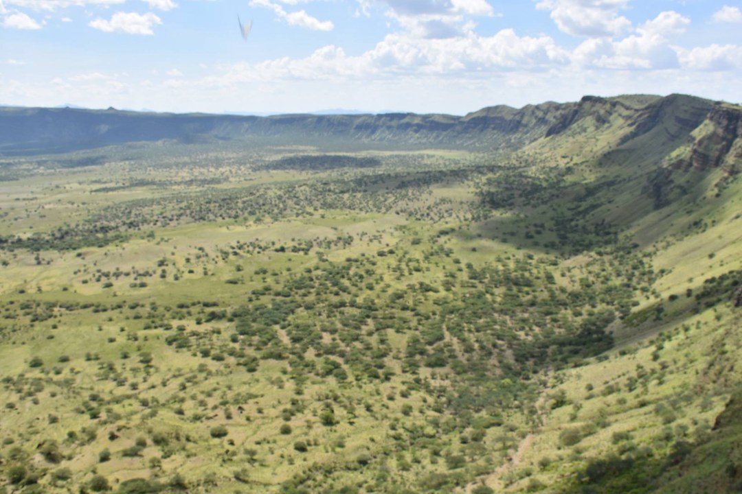
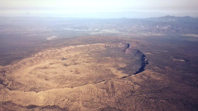
火山、热泉和火山口是巴林戈最能体现大裂谷地质力量的景观。这里的重点不是“打卡”,而是看地表热量、岩石颜色、蒸汽、湖岸和断裂带如何共同塑造一片土地。
游览 Silale Crater 时,要把“好看”和“危险”同时放在心里。地热区的颜色、蒸汽和水声很吸引人,但真正可靠的体验来自安全距离、向导判断和对现场边界的尊重。
Lake Baringo 是巴林戈旅行的核心参照点之一。它是大裂谷北段少见的淡水湖,湖岸、岛屿、鸟类、渔村和住宿点共同构成了当地旅行的节奏。
巴林戈不是单一族群地区,Tugen、Pokot、Ilchamus、Turkana 等社区在牧业、湖岸生活、市场和节庆中留下了不同的地方性格。
几个关键数字可以帮助你预估现场尺度和行程节奏:1578m、5013 ft、8、5 km、300m、600、800 m、63000。这些数字不只是冷冰冰的参数,它们会直接影响停留时间、拍摄距离、车辆安排和当天是否需要预留更多路程缓冲。
地热景观要特别注意安全距离。冒气、冒泡、地表发白或发黄的位置都不应随意踩踏,也不要为了拍照越过当地管理边界。
到 Silale Crater 不要只看地图直线距离,更要看道路类型和当天路况。巴林戈的高地、湖岸和半干旱平原之间海拔和地表差异很大,同样几十公里,体验可能完全不同。靠近水边、温泉、河谷或湖岸时,拍照位置要以安全为先;风景越开阔,越不需要为了靠近边缘去冒险。
Silale Crater 可以与 Lake Bogoria、Lake Baringo、Marigat 或周边火山地貌组合成一条地热主题线路。这样的安排能让游客从湖、温泉、喷气孔、火山口和断裂带之间看出联系,而不是只看到单个热泉。
实际出行时,可以把 Silale Crater 的停留时间分成三部分:先在安全位置建立整体印象,再根据光线、天气和向导意见选择拍摄或步行范围,最后留一点时间观察当地人的使用方式。这样体验下来,游客记住的就不只是“这里很美”,而是它为什么会形成现在的样子。
更适合 Silale Crater 的旅行方式,是把它当作巴林戈整体线路的一部分:前后衔接 Lake Baringo、Lake Bogoria、Kerio Valley、Kabarnet、Marigat 或周边保护地时,游客会更容易理解这里为什么值得停留。
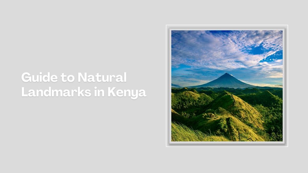
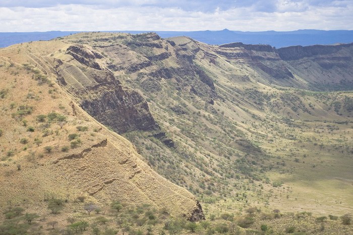
With a summit elevation of 1578m (5013 ft) above sea level, Silale crater has a spectacular summit caldera of 8 long and 5 km wide. The summit walls rise an altitude of about 300m high. The summit is 600-800 m above the surrounding rift valley floor. Silali was formed some 63000 years ago and had its main eruptions around 7050 – 5050 BC.
Although there is still geothermal activity there with some eruptions possibly having happened in the last few hundred years. Geographically, the area is in southern Turkana but administratively, it is at the border of Turkana East and East Pokot counties. The Turkana people call it Silali while the Pokot call it Silale.
It is an area whose ownership is disputed between the Pokot and the Turkana communities, hence frequent fights over pasture. In addition, the Silali area is very rich culturally, being endowed with special archeological sites. The hulking and rocky Mount Silale, or Silale Volcano, within sight of Nakegere Falls, marks the unofficial gatepost to the desiccated Suguta Valley.
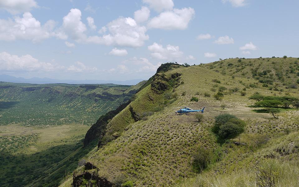
Silale and Nakengere, whose location according to maps is in Baringo County, is home to the Turkana . Sugata River, originating from Silale Hills, is a vital lifeline for both man and beast. Silale is situated 70 km north of Lake Baringo, in a very remote area that can only be assessed by four-wheel vehicles or a helicopter.
Kenya is blessed with a diverse range of natural landmarks, showcasing the country's stunning landscapes and rich biodiversity. These natural landmarks represent Kenya's breathtaking beauty and ecological diversity, making it a top destination for safari adventures, outdoor, and wilderness exploration.


