
Ngulia Hills(Tsavo West / 火山与泉水)
导语
Ngulia Hills(Tsavo West / 火山与泉水)位于泰塔塔韦塔县,属于Tsavo West / 火山与泉水。页面重点包括Reaching a maximum elevation of 1820 metre asl, Ngulia Hills, situated just south of west from Kilaguni, are comprised of a rugged ridge of red-coloured granite-hillocks,由此展开当地地理、交通、文化和旅行背景。
正文
Tsavo West / 火山与泉水(Ngulia Hills)位于泰塔塔韦塔县,可作为了解当地自然空间的一处入口。它的价值不只在于“到此一游”的景点标签,更在于把泰塔塔韦塔县的地理环境、城市生活、道路节点和地方记忆连接起来。
Tsavo West / 火山与泉水最值得关注的是生态环境、植被景观、城市绿地价值和现场游览体验。对旅行者来说,判断一个地方是否值得停留,关键不只是名称本身,而是它与周边道路、城镇和其他目的地之间的关系。放在一条县域线路中阅读,Tsavo West / 火山与泉水会显得更具体,也更容易被纳入实际行程。
从现有资料看,Tsavo West / 火山与泉水的吸引力主要来自现场环境和地方背景。它适合用较慢的节奏停留:观察空间本身,理解它与泰塔塔韦塔县城市或乡村生活之间的关系,再结合照片和周边地点形成完整印象。
把Tsavo West / 火山与泉水放进肯尼亚旅行语境中,它补足的是主流 safari 线路之外的县域细节。这里呈现的不是单一动物观赏或酒店体验,而是更日常、更具体的地方肯尼亚:城市绿地、社区空间、自然边界、历史痕迹和道路连接共同构成了目的地的真实质感。
因此,Tsavo West / 火山与泉水适合作为泰塔塔韦塔县目的地资料中的一页:它帮助读者快速理解这个地点的基本定位,也为规划区域停留、补充现场照片和串联周边路线提供参考。适合关注自然观察、轻徒步、亲子活动和地方生态教育的读者,都可以从这里获得一个可靠的起点。
英文原文
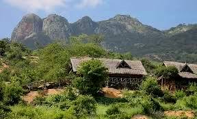
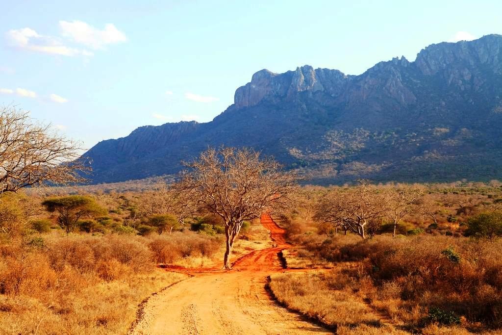
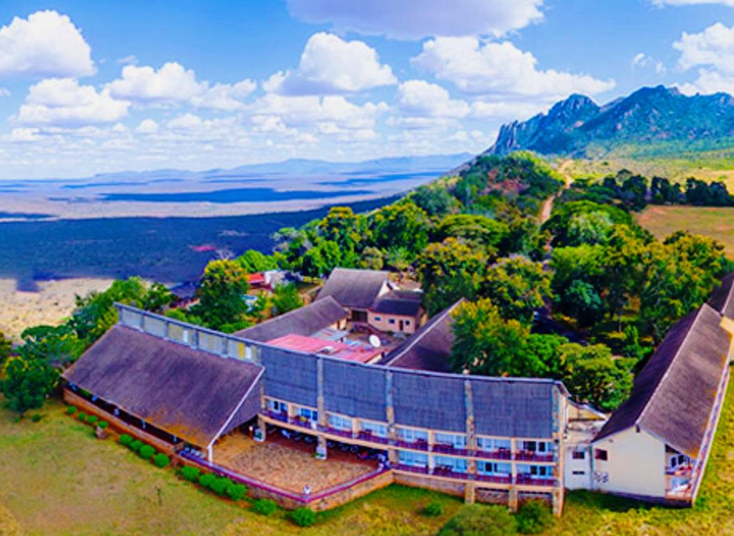
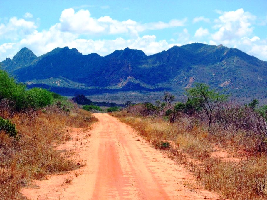
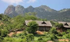
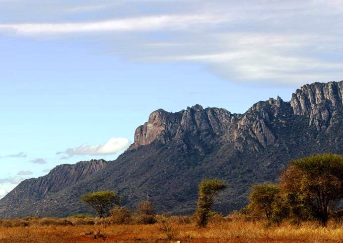
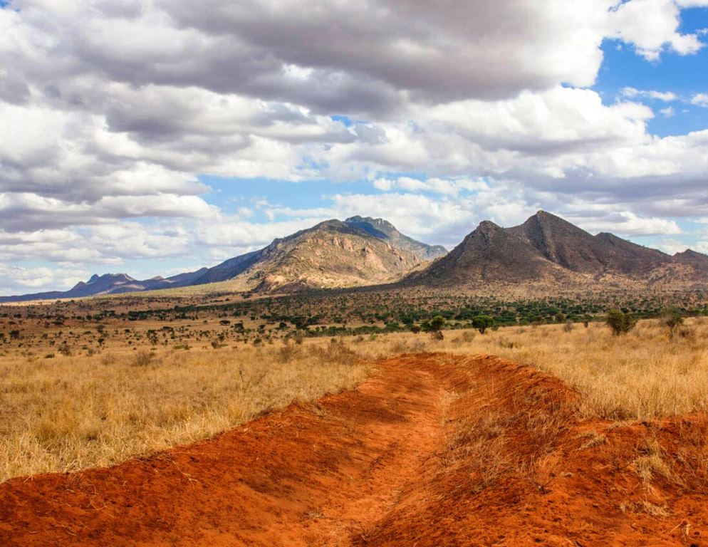
Reaching a maximum elevation of 1820 metre asl, Ngulia Hills, situated just south of west from Kilaguni, are comprised of a rugged ridge of red-coloured granite-hillocks whose eyecatching hillscape on the joyride crossing the “Rhino Valley” is breathtaking. From near the edge of the Ndawe Escarpment the Ngulia Hills drop steeply into the Tsavo River Valley at their south end. Not far from Ngulia Hills is a small inselberg famously known as Poacher’s Lookout that offers great views over the plains and the Ngulia Rhino Sanctuary. For the outdoor lover, Ngulia Hills can be hiked with permission from the warden. Ngulia Safari Lodge, high up the range, offers up to the mark living. These hills lie 40 km south of the Mtito Andei Gate.
Kenya is blessed with a diverse range of natural landmarks, showcasing the country’s stunning landscapes and rich biodiversity. These natural landmarks represent Kenya’s breathtaking beauty and ecological diversity, making it a top destination for safari adventures, outdoor, and wilderness exploration.
图片



Reply