
Chemususu Dam
Chemususu Dam 让人看到巴林戈旅行中经常被忽略的一面:水。大裂谷北段的半干旱环境里,河流、水库、灌溉和森林径流都直接影响城镇、农田和居民生活。
巴林戈县的自然景观并不是彼此孤立的。Lake Baringo、Lake Bogoria、河谷、温泉、喷气孔、水库和季节性河流,共同构成了大裂谷北段很有辨识度的水文与地热系统;理解这一点,现场看到的湖面、水汽、岩层和村镇才会变得有逻辑。
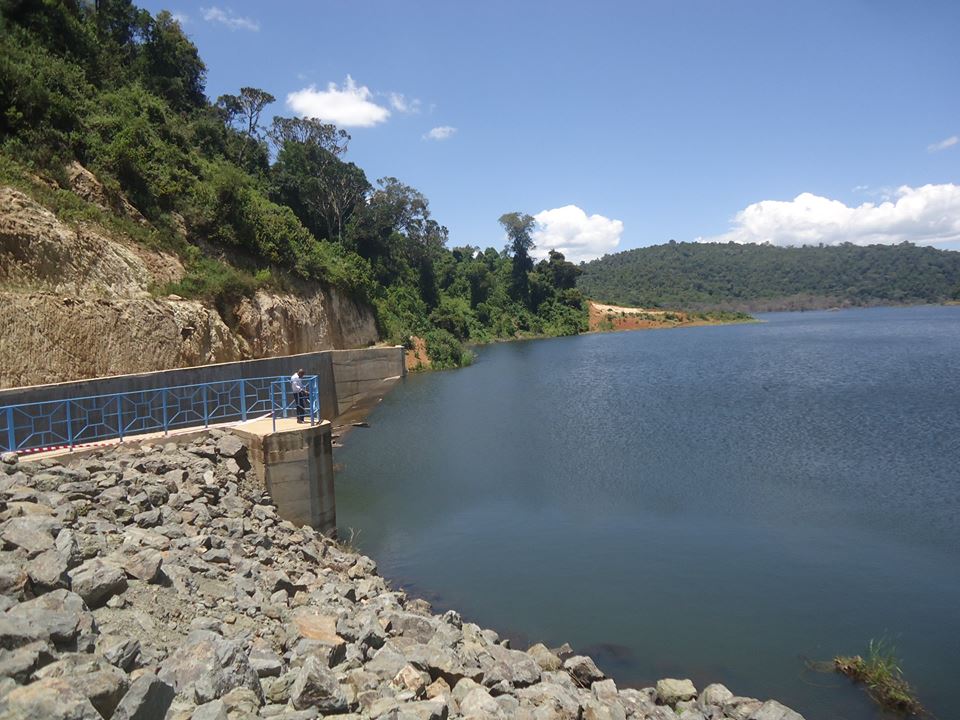
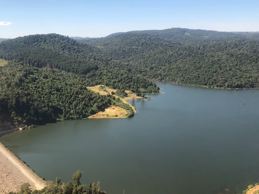
水库、灌溉区和水利设施能让游客看到巴林戈的另一面:这里不只有自然风景,也有供水、农业、城镇生活和气候压力下的资源管理。
游览 Chemususu Dam 时,可以把它看成水资源如何进入地方生活的现场:一边是水面和工程结构,一边是居民供水、农田灌溉、森林径流和城镇发展。
Eldama Ravine 位于较凉爽的高地地带,与森林、水库、农田和通往 Eldoret 方向的道路联系更紧密,旅行感受不同于湖区的半干旱景观。
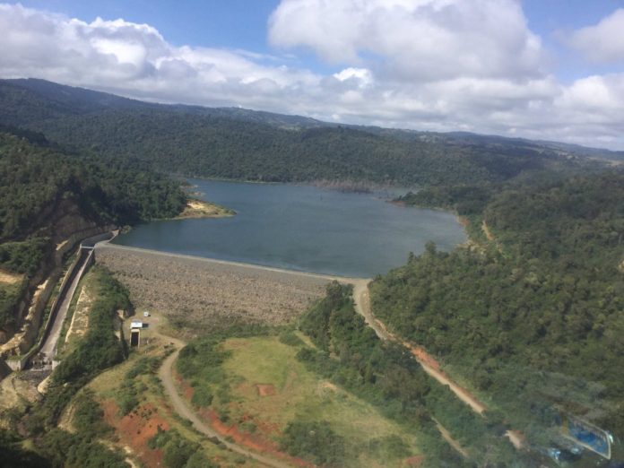
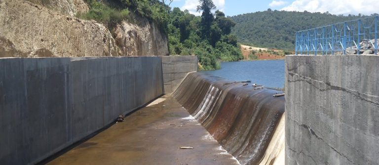
Chemususu Dam 还与地方体育活动发生联系;赛事会把湖岸、水库、森林道路或城镇道路转化为游客理解地方生活的另一条线索。
几个关键数字可以帮助你预估现场尺度和行程节奏:2014、15 km、4.5 km、251 acres、45 m、11 million m3、21 km、600,000 residents。这些数字不只是冷冰冰的参数,它们会直接影响停留时间、拍摄距离、车辆安排和当天是否需要预留更多路程缓冲。
参观水库、灌溉区或水利设施时,可以把水面、堤坝、河流来水、周边农田和居民点一起看;这样更容易理解它为什么对当地生活重要。
到 Chemususu Dam 不要只看地图直线距离,更要看道路类型和当天路况。巴林戈的高地、湖岸和半干旱平原之间海拔和地表差异很大,同样几十公里,体验可能完全不同。靠近水边、温泉、河谷或湖岸时,拍照位置要以安全为先;风景越开阔,越不需要为了靠近边缘去冒险。
Chemususu Dam 可以与湖岸住宿、观鸟、乘船、城镇补给或附近地热景观组合。行程安排上,清晨看光线和鸟,白天转场或休息,傍晚再回到湖岸或水边拍摄,通常比中午硬赶景点更舒服。
实际出行时,可以把 Chemususu Dam 的停留时间分成三部分:先在安全位置建立整体印象,再根据光线、天气和向导意见选择拍摄或步行范围,最后留一点时间观察当地人的使用方式。这样体验下来,游客记住的就不只是“这里很美”,而是它为什么会形成现在的样子。
更适合 Chemususu Dam 的旅行方式,是把它当作巴林戈整体线路的一部分:前后衔接 Lake Baringo、Lake Bogoria、Kerio Valley、Kabarnet、Marigat 或周边保护地时,游客会更容易理解这里为什么值得停留。
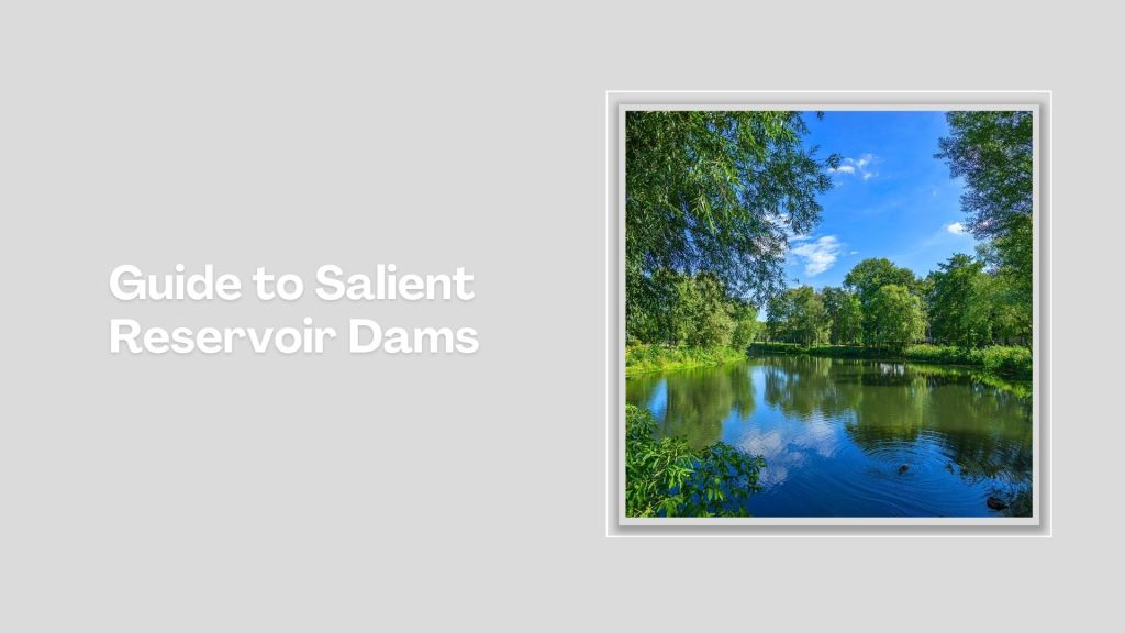
Chemususu Dam: Breathing Hope and Sights
Dams are often overlooked sites in Kenya's touring circuit. But besides their crucial role in water management, electricity generation and supporting farming, most dams around Kenya are genuinely attractive sites, making many people want to tour them. Deep within the forests of Baringo sits Chemususu Dam.
Completed in 2014, 15 km northwest of Eldama Ravine via B53 Ravine-Eldoret Road, it is the third largest dam in Kenya, after Ndakaini and Sasumua Dams. The 4.5 km long dam (251 acres) Chemususu Dam, bolstered by a 45 m high masonry dam, with a capacity of 11 million m3 of water. set against a backdrop of rolling and wooded hills, is a wonderful location for some picturesque walks.
Constructed within the indigenous Chemususu Forest, it makes for a great sight from a distance but is even more pleasing when explored at close quarters. Another way to comprehend the beauty of Chemususu Dam is to get involved in the annual Chemususu Dam Marathon, whose invigorating 21 km course loops around the dam. It is usually held in the first half of November.
Chemususu Dam caters for close to 600,000 residents of Eldama Ravine and the surrounding region. It receives water through forest surface runoff and Barain and Sawich rivers. It is just one example of the numerous dams and reservoirs in Kenya and other countries that play a crucial role in water conservation.


