
Rurimeria Hill Trail(鲁里梅里亚山徒步)
导语
Rurimeria Hill Trail(鲁里梅里亚山徒步)位于年达鲁阿县,属于Aberdare 高山 / 徒步。页面重点包括Rurimeria Hill is not as well-known as some of the more prominent destinations about Aberdare’s hiking circuit and walking trails, but it still holds value for those interested in outdoor activities,由此展开当地地理、交通、文化和旅行背景。
正文
鲁里梅里亚山徒步(Rurimeria Hill Trail)位于年达鲁阿县,可作为了解当地自然空间的一处入口。它的价值不只在于“到此一游”的景点标签,更在于把年达鲁阿县的地理环境、城市生活、道路节点和地方记忆连接起来。
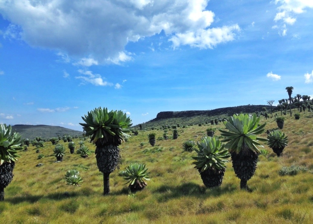
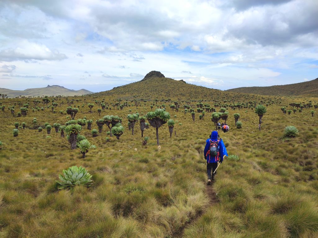
鲁里梅里亚山徒步最值得关注的是生态环境、植被景观、城市绿地价值和现场游览体验。对旅行者来说,判断一个地方是否值得停留,关键不只是名称本身,而是它与周边道路、城镇和其他目的地之间的关系。放在一条县域线路中阅读,鲁里梅里亚山徒步会显得更具体,也更容易被纳入实际行程。
从现有资料看,鲁里梅里亚山徒步的吸引力主要来自现场环境和地方背景。它适合用较慢的节奏停留:观察空间本身,理解它与年达鲁阿县城市或乡村生活之间的关系,再结合照片和周边地点形成完整印象。
把鲁里梅里亚山徒步放进肯尼亚旅行语境中,它补足的是主流 safari 线路之外的县域细节。这里呈现的不是单一动物观赏或酒店体验,而是更日常、更具体的地方肯尼亚:城市绿地、社区空间、自然边界、历史痕迹和道路连接共同构成了目的地的真实质感。
因此,鲁里梅里亚山徒步适合作为年达鲁阿县目的地资料中的一页:它帮助读者快速理解这个地点的基本定位,也为规划区域停留、补充现场照片和串联周边路线提供参考。适合关注自然观察、轻徒步、亲子活动和地方生态教育的读者,都可以从这里获得一个可靠的起点。
英文原文
Rurimeria Hill is not as well-known as some of the more prominent destinations about Aberdare’s hiking circuit and walking trails, but it still holds value for those interested in outdoor activities. In the hiking circles, it is a sanctum of inviolable serenity and restoration, demanding youthful vigor to surmount. “Rurimueria is under Kenya Wildlife Service. Besides the entrance fee, one is required to pay for a guide. Given its beaten nature, a local is also provided. You will need someone who’s been brought up there, believe me. The mountain knows her children.”
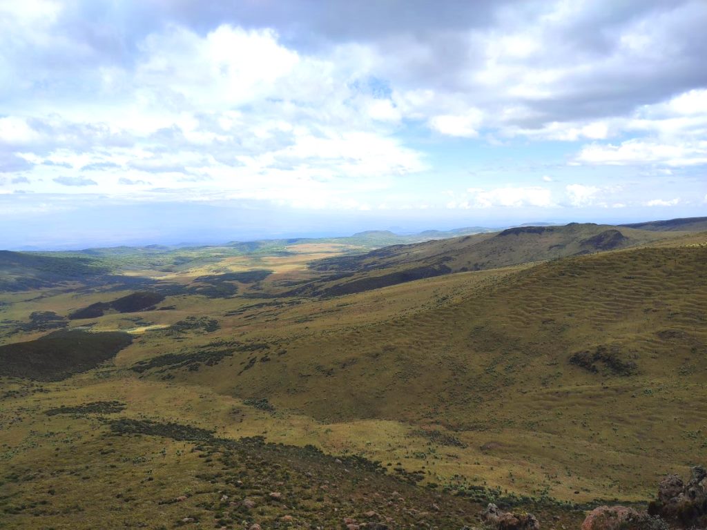
Located at the northern end of the Aberdare Range, marked by steep valleys and isolated mounts, Rurimeria rises below Satima Peak, the highest point of the range from where it steeps gradually southerly. Beyond Elephant Hill, below Ruriremeria Hill, the range descends steeply southbound. So that the main climbing trails are Satima, Table Mountain, Rurimeria Hill and Elephant Hill, consecutively. Kipipiri, the second highest point after Mount Satima, is an isolated landmark prominently apart from the main Aberdare Ranges which it is separated by the Wanjohi Valley, rises to the east. Rising to 3,680 ms asl, Rurimeria Hill is the third highest summit.
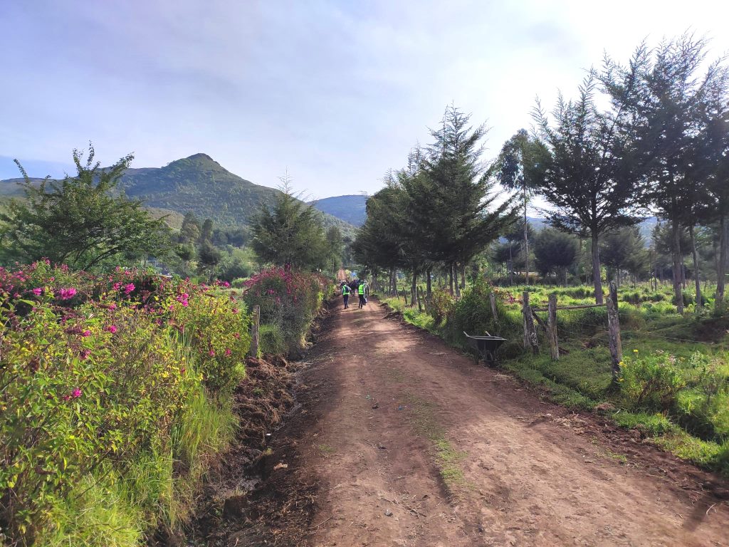
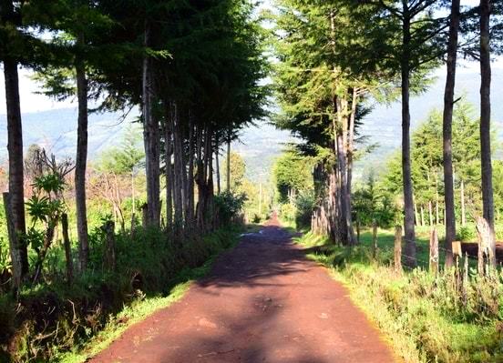
The starting point for hiking Rurimeria Hill is at Geta Forest Station Ndunyu Njeru; distance from Nairobi 161 km via A104 Nairobi-Nakuru Road and C77 Njabini-Kinagop Road. Accompanied by a park ranger, or two depending on the hiking party for a negotiable guide fee usually not exceeding Kes. 3,000 per ranger, up the mountain you go. At Geta Bush you cross the electric fence via a small gate, marking the official forest boundary. An early morning start will get you back to this gate marker before late afternoon in place where rain is notoriosly consistent.
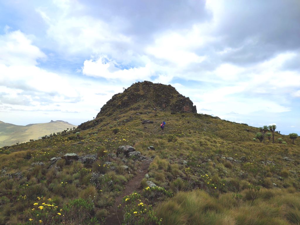
Total round trip distance for Rurimeria Hill Trail is 15 km, accomplished in about 6 to 8 hours; about 5 hours ascending and 3 hours descending. It is a tremendous leg day, too, with about 28,000 steps. It is rated moderate to hard, although the latter is truer: “This is a hike to be mentally prepared for a long day. It starts steep, continues steep, then a relatively flat boggy section and finally an abrupt climb to the summit”. Proper hiking gear, shoes and kit, a good stretch at the start, plenty of water and snacks, and mental awareness for the hike challenge are all important.
图片



Reply