
River Kaiti Bridge(县域目的地)
导语
River Kaiti Bridge(县域目的地)位于马库埃尼县,属于县域目的地。页面重点包括The play up of River Kaiti is, paradoxically, also when it is driest. Between January – March Kaiti River is diminished to only a transient stream,由此展开当地地理、交通、文化和旅行背景。
正文
县域目的地(River Kaiti Bridge)位于马库埃尼县,可作为了解当地地方目的地的一处入口。它的价值不只在于“到此一游”的景点标签,更在于把马库埃尼县的地理环境、城市生活、道路节点和地方记忆连接起来。
县域目的地最值得关注的是地理位置、到达方式、现场体验和周边可串联内容。对旅行者来说,判断一个地方是否值得停留,关键不只是名称本身,而是它与周边道路、城镇和其他目的地之间的关系。放在一条县域线路中阅读,县域目的地会显得更具体,也更容易被纳入实际行程。
从现有资料看,县域目的地的吸引力主要来自现场环境和地方背景。它适合用较慢的节奏停留:观察空间本身,理解它与马库埃尼县城市或乡村生活之间的关系,再结合照片和周边地点形成完整印象。
把县域目的地放进肯尼亚旅行语境中,它补足的是主流 safari 线路之外的县域细节。这里呈现的不是单一动物观赏或酒店体验,而是更日常、更具体的地方肯尼亚:城市绿地、社区空间、自然边界、历史痕迹和道路连接共同构成了目的地的真实质感。
因此,县域目的地适合作为马库埃尼县目的地资料中的一页:它帮助读者快速理解这个地点的基本定位,也为规划区域停留、补充现场照片和串联周边路线提供参考。适合希望理解肯尼亚县域目的地的读者,都可以从这里获得一个可靠的起点。
英文原文
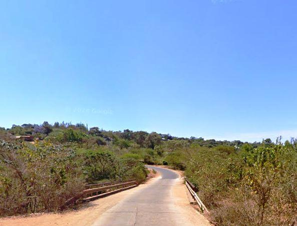
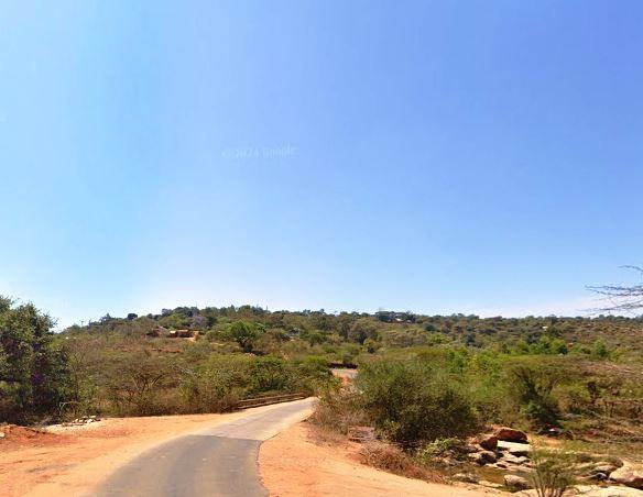
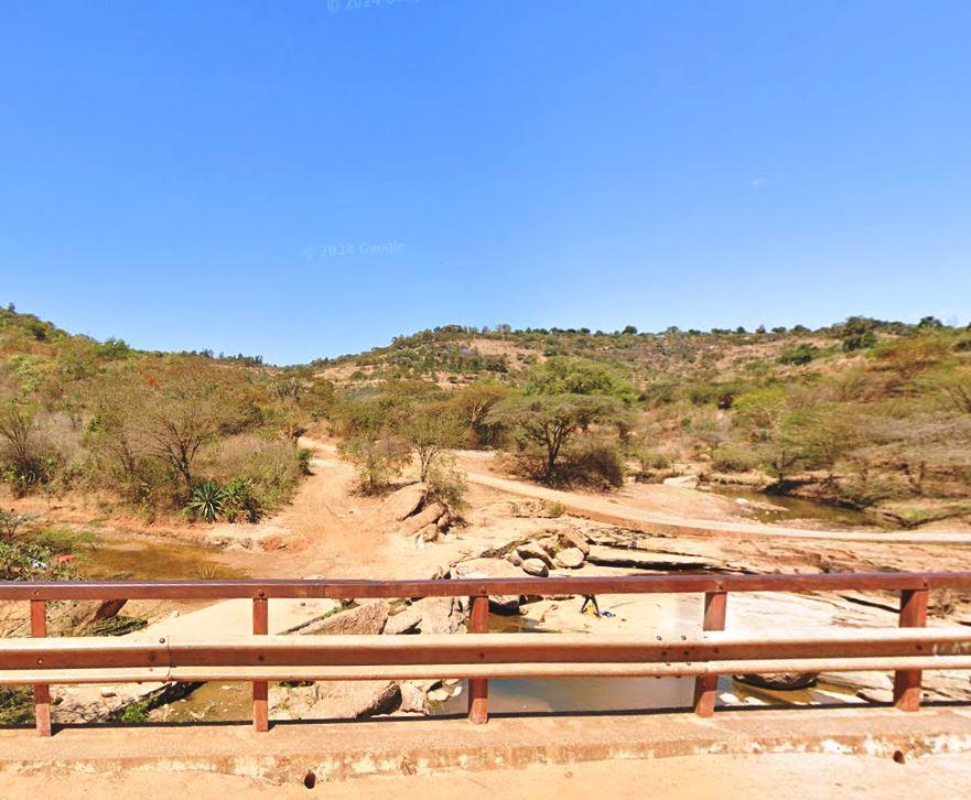
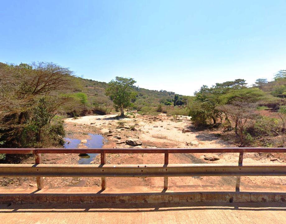
73 km southeast of Machakos by way of C101 Machakos-Wote-Makindu Road you arrive at Wote. At the entrance of the town you cross the Kaiti Bridge, over River Kaiti, which provides an all-season access to this all-important town, the capital town of Makueni County. Generally speaking, most areas in Makueni County lie in a water scarce block with limited water resources. Kiboko, Mtito-Andei, Thange, Thwake, Uani, Muoni, Tawa, Kiangini and Kaiti Rivers traversing the county, and all debouching into the River Athi, flow seasonally, or with low flows for much of the year, some drying out completely in the dryer months. Kaiti Bridge, depending on the time of year you visit Wote, is always beautiful in one way or another. The play up of River Kaiti is, paradoxically, also when it is driest. Between January – March Kaiti River is diminished to only a transient stream, ergo in some years completely drying out, leaving in its wake a fine sand river of deep clefts cut on the river bed.
Presently it is possible to walk across the river bed. Jagged rocks, many intensely chiseled into bizarre formations, with pits and potholes in them from centuries of erosion, form a picturesque setting surrounded by soaring hills of a unique beauty. The holes in the large rocks are caused by circulating water holding smaller rocks or pebbles up against the larger ones, and the resulting friction eroding a pothole into the larger rock. Then come the rains and Kaiti River is fast flowing, sweeping away by treacherous currents large quantities of sand, gravel and rock, its sudden copious flow issuing an alarm to those who cross over it. Of a more recent uptake, the completion of Thwake Bridge along the B61 Road linking Wote and Kitui will further transform the lives of the people of Makueni, unite villages divided by the river, and originate an equally fascinating site to the attractions in Makueni County.
Kenya is blessed with several rivers, each playing a vital role in the country’s ecosystem, economy, and culture. The longest of these is the Tana, stretching approximately 1,000 kilometers from its source in the Aberdare Mountains to the Indian Ocean. Long, wide, short, seasonal, the rivers that crisscross Kenya each contributes to the natural beauty, biodiversity, and socio-economic success.
图片



Reply