
Ol Donyo Sabuk National Park(奥东约萨布克国家公园)
导语
Ol Donyo Sabuk National Park(奥东约萨布克国家公园)位于马查科斯县,属于Ol Donyo Sabuk / Tana 水系。页面重点包括The relatively small Ol Donyo Sabuk National Park, 21 km2 in area situated 30 km east of Thika town via A3 Thika-Garissa Road, is dominated by the forested top of Ol Donyo Sabuk Hill,由此展开当地地理、交通、文化和旅行背景。
正文
奥东约萨布克国家公园(Ol Donyo Sabuk National Park)位于马查科斯县,可作为了解当地地方目的地的一处入口。它的价值不只在于“到此一游”的景点标签,更在于把马查科斯县的地理环境、城市生活、道路节点和地方记忆连接起来。
奥东约萨布克国家公园最值得关注的是地理位置、到达方式、现场体验和周边可串联内容。对旅行者来说,判断一个地方是否值得停留,关键不只是名称本身,而是它与周边道路、城镇和其他目的地之间的关系。放在一条县域线路中阅读,奥东约萨布克国家公园会显得更具体,也更容易被纳入实际行程。
从现有资料看,奥东约萨布克国家公园的吸引力主要来自现场环境和地方背景。它适合用较慢的节奏停留:观察空间本身,理解它与马查科斯县城市或乡村生活之间的关系,再结合照片和周边地点形成完整印象。
把奥东约萨布克国家公园放进肯尼亚旅行语境中,它补足的是主流 safari 线路之外的县域细节。这里呈现的不是单一动物观赏或酒店体验,而是更日常、更具体的地方肯尼亚:城市绿地、社区空间、自然边界、历史痕迹和道路连接共同构成了目的地的真实质感。
因此,奥东约萨布克国家公园适合作为马查科斯县目的地资料中的一页:它帮助读者快速理解这个地点的基本定位,也为规划区域停留、补充现场照片和串联周边路线提供参考。适合希望理解肯尼亚县域目的地的读者,都可以从这里获得一个可靠的起点。
英文原文
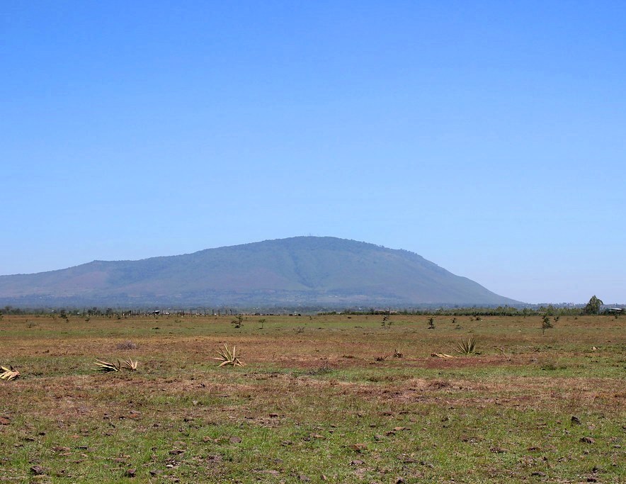
The relatively small Ol Donyo Sabuk National Park, 21 km2 in area situated 30 km east of Thika town via A3 Thika-Garissa Road, is dominated by the forested top of Ol Donyo Sabuk Hill. A considerable part of its top, excepting the summit itself, is covered by a thick forest of ancient woodies, of which Conopharyngia and Croton are the most important. Plants of the forest floor include Cape peppers, stinging nettles and Aneilema pedunculata (or “Mickey Mouse” flower). Ol Donyo Sabuk is locally known as Mount Kilimambogo, a monicker that answers to the buffaloes that use this forest as a refuge, grazing outside it after dark. Still, Ol Donyo Sabuk National Park is more scenic than faunal, making for a delightful hiking destination.
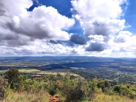
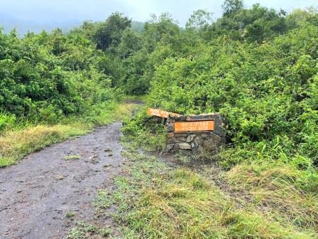
The objective of most visitors to the park is an active adventure up and down Ol Donyo Sabuk Hill, on an 8 km ascent which is well rewarded with knockout views at the top; making up for what little wildlife is found here. This is the park’s main attraction, offering panoramic views of the surrounding plains, including the Athi River and Aberdare Range. Over yonder, Mount Kenya stands guard to the north beyond a saucer-shaped valley separating the two. On most days, Yatta Plateau and Mount Kilimanjaro can also be sighted, immediately south and far southeast, respectively. Westwards, the flat volcanic scrub plains stretch away towards the dome Mua Hills. A round-trip takes about six hours on a moderate walking pace.
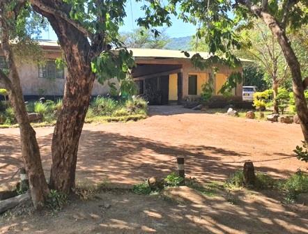
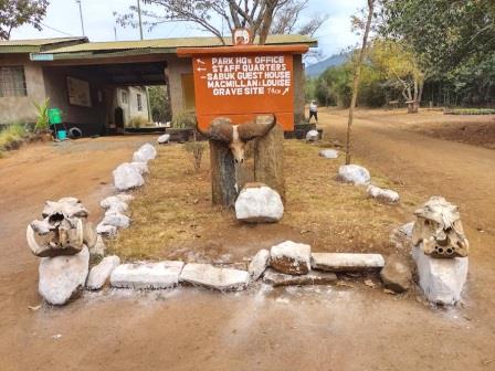
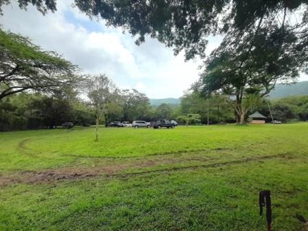
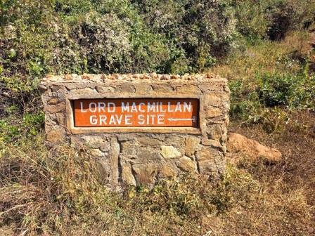
The park has designated picnic areas for visitors to relax and enjoy the natural beauty. The grave of Sir William Northrup MacMillan, the eccentric settler and game hunter who settled in the area in 1901, is located near the summit. The park was once part of Macmillan Estate. Other interests at the Park are the MacMillan Grave, nearby MacMillan Castle and Fourteen Falls. Ol Donyo Sabuk is a great off-the-beaten-path destination for those looking for a quiet hike with stunning views and a bit of wildlife spotting. The next door Ol Donyo Sapuk Lodge offers suitable accommodation for intrepids who have a day or two to spare to explore the area.
Kenya certainly has enormous touring resources. There are no less than sixty national narks, reserves and game sanctuaries, covering approximately 11% of the land surface. Each of these diverse and stunning national parks and reserves offers unique wildlife experiences and unique, breathtaking landscapes.
图片



Reply