
Nzueni Hill(山地 / 岩石 / 瀑布 / 观景点)
导语
Nzueni Hill(山地 / 岩石 / 瀑布 / 观景点)位于马库埃尼县,属于山地 / 岩石 / 瀑布 / 观景点。页面重点包括With an average elevation of 1,403 metres, situated nearby Mumbuni in Wote, Nzueni Hill, while not as conspicuous as many of the hills in Makueni County is, within its low-lying boondock area, a noticeable landmark,由此展开当地地理、交通、文化和旅行背景。
正文
山地 / 岩石 / 瀑布 / 观景点(Nzueni Hill)位于马库埃尼县,可作为了解当地自然空间的一处入口。它的价值不只在于“到此一游”的景点标签,更在于把马库埃尼县的地理环境、城市生活、道路节点和地方记忆连接起来。
山地 / 岩石 / 瀑布 / 观景点最值得关注的是生态环境、植被景观、城市绿地价值和现场游览体验。对旅行者来说,判断一个地方是否值得停留,关键不只是名称本身,而是它与周边道路、城镇和其他目的地之间的关系。放在一条县域线路中阅读,山地 / 岩石 / 瀑布 / 观景点会显得更具体,也更容易被纳入实际行程。
从现有资料看,山地 / 岩石 / 瀑布 / 观景点的吸引力主要来自现场环境和地方背景。它适合用较慢的节奏停留:观察空间本身,理解它与马库埃尼县城市或乡村生活之间的关系,再结合照片和周边地点形成完整印象。
把山地 / 岩石 / 瀑布 / 观景点放进肯尼亚旅行语境中,它补足的是主流 safari 线路之外的县域细节。这里呈现的不是单一动物观赏或酒店体验,而是更日常、更具体的地方肯尼亚:城市绿地、社区空间、自然边界、历史痕迹和道路连接共同构成了目的地的真实质感。
因此,山地 / 岩石 / 瀑布 / 观景点适合作为马库埃尼县目的地资料中的一页:它帮助读者快速理解这个地点的基本定位,也为规划区域停留、补充现场照片和串联周边路线提供参考。适合关注自然观察、轻徒步、亲子活动和地方生态教育的读者,都可以从这里获得一个可靠的起点。
英文原文
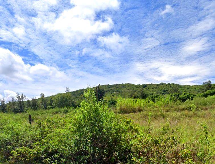
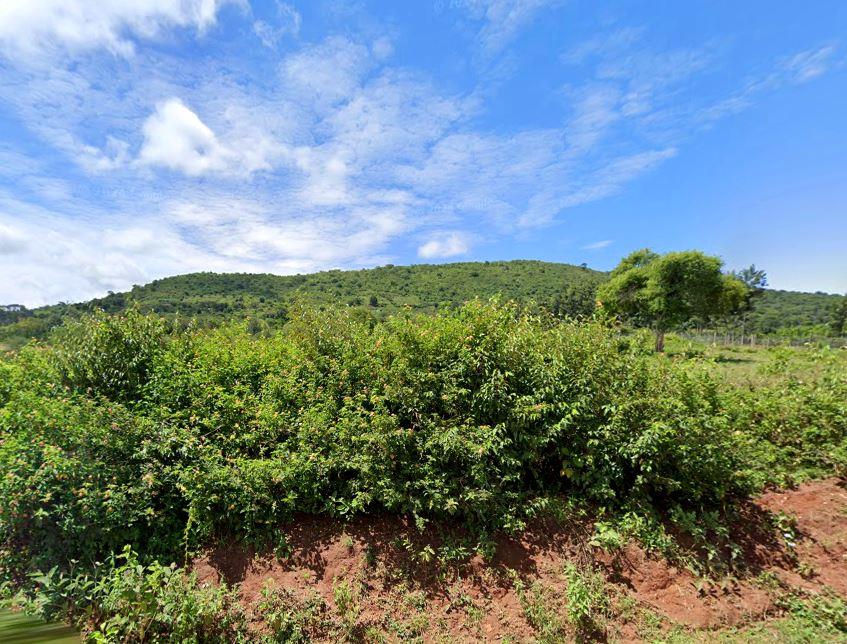
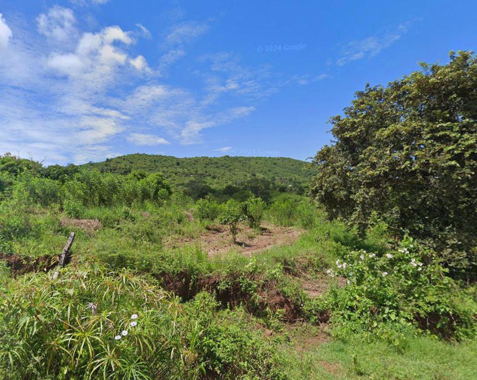
With an average elevation of 1,403 metres, situated nearby Mumbuni in Wote, Nzueni Hill, while not as conspicuous as many of the hills in Makueni County is, within its low-lying boondock area, a noticeable landmark. Nzueni Hill is located on relatively undulating terrain with a general slope running in a north-easterly direction and an elevation of between 600m above sea level in the southeastern to 1,900m above sea level in the northwestern. Its most noticeable feature, going by topography of this region, is the abrupt change which occurs east of a tangent connecting roughly Nzueni, Unoa, Nthangu and Ikua hills. Nzueni Hill is capped by a melanocratie garnet-bearing biotite gneiss. This garnet belt extends for some miles southwards but the abundance of garnet is subject to extreme variation.
The dome-type hill is surrounded by the 304 ha Nzueni Forest, increasingly under anthropogenic acitivities. Efforts are underway to restore 100,000 hectares of degraded landscapes in Makueni County through integrated forest and landscape restoration approaches for improved ecological functionality and social economic benefits by 2030. Among the other remarkable natural landmarks dominating the area include Unoa Hills (1,280m above sea level) and Malivani Hills (1,340m above sea level). Further north are highlands constituting surface water sources among them Nthagu, Kitondo and Iuani Hills where seasonal streams originate flowing south and east eventually draining into Kaiti River and eventually into Athi River.
Kenya is blessed with a diverse range of natural landmarks, showcasing the country’s stunning landscapes and rich biodiversity. These natural landmarks represent Kenya’s breathtaking beauty and ecological diversity, making it a top destination for safari adventures, outdoor, and wilderness exploration.
图片



Reply