
Mount Nyiru / Ng’iru(尼鲁山)
导语
Mount Nyiru / Ng’iru(尼鲁山)位于桑布鲁县,属于山地 / 高原 / 荒漠地貌。页面重点包括Rising to 2,752 ms, Mount Nyiru, better known to the locals as Mount Ng’iru, is one of the highest mountains in the North of Kenya,由此展开当地地理、交通、文化和旅行背景。
正文
尼鲁山(Mount Nyiru / Ng’iru)位于桑布鲁县,可作为了解当地自然空间的一处入口。它的价值不只在于“到此一游”的景点标签,更在于把桑布鲁县的地理环境、城市生活、道路节点和地方记忆连接起来。
尼鲁山最值得关注的是生态环境、植被景观、城市绿地价值和现场游览体验。对旅行者来说,判断一个地方是否值得停留,关键不只是名称本身,而是它与周边道路、城镇和其他目的地之间的关系。放在一条县域线路中阅读,尼鲁山会显得更具体,也更容易被纳入实际行程。
从现有资料看,尼鲁山的吸引力主要来自现场环境和地方背景。它适合用较慢的节奏停留:观察空间本身,理解它与桑布鲁县城市或乡村生活之间的关系,再结合照片和周边地点形成完整印象。
把尼鲁山放进肯尼亚旅行语境中,它补足的是主流 safari 线路之外的县域细节。这里呈现的不是单一动物观赏或酒店体验,而是更日常、更具体的地方肯尼亚:城市绿地、社区空间、自然边界、历史痕迹和道路连接共同构成了目的地的真实质感。
因此,尼鲁山适合作为桑布鲁县目的地资料中的一页:它帮助读者快速理解这个地点的基本定位,也为规划区域停留、补充现场照片和串联周边路线提供参考。适合关注自然观察、轻徒步、亲子活动和地方生态教育的读者,都可以从这里获得一个可靠的起点。
英文原文
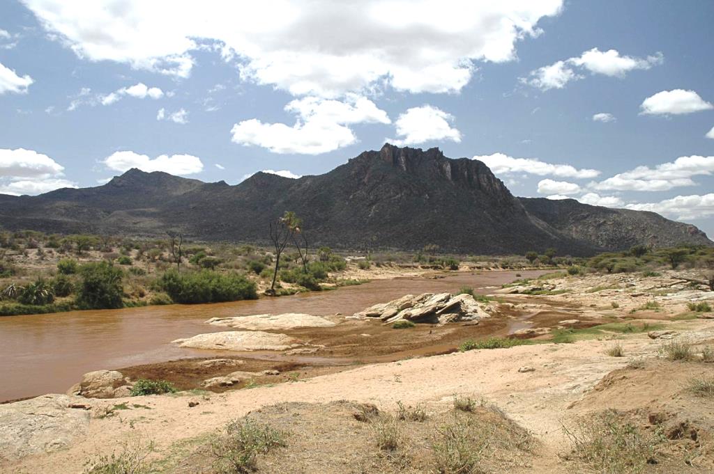
The C77 Baragoi-Loiyangalani Road to the southern edge of Lake Turkana goes though Ngurunit, South Horr and thence along the eastern flank of Mount Nyiru. From Ngurunit it is a 161 km hard expedition north to Loiyangalani across an arid bushland. It is approachable from both north and south with accommodation options on both ends. Rising to 2,752 ms, Sacred Mount Nyiru, better known to the locals as Mount Ng’iru, is one of the highest mountains in the North of Kenya.
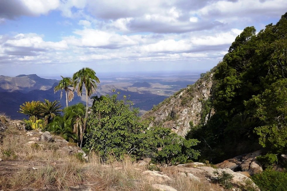
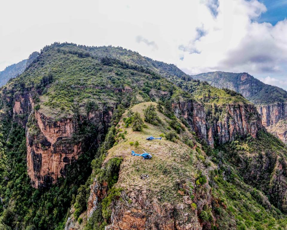
The western face of Mount Nyiru is topped with dark forests and some waterfalls oft-times veiled by an outpouring of the heavy clouds that cap its summit. The eastern side is much drier with more rock exposure. Owing to its importance as a water catchment the 45 km2 forest around Mount Nyiru, of which about 8 km2 is covered with true forest, was listed, in 1956, as a forest reserve. A biodiversity of 448 plant species belonging to 104 families have been recorded on Mount Nyiru. The Samburu of Nyiru attribute a use to 249 species or 56% of the local flora.
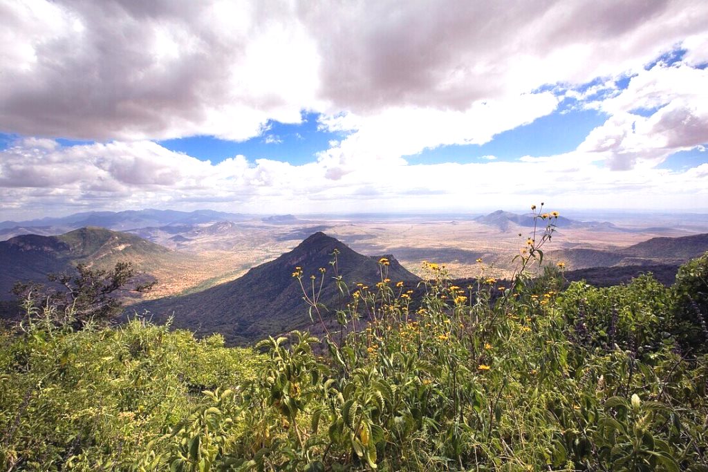
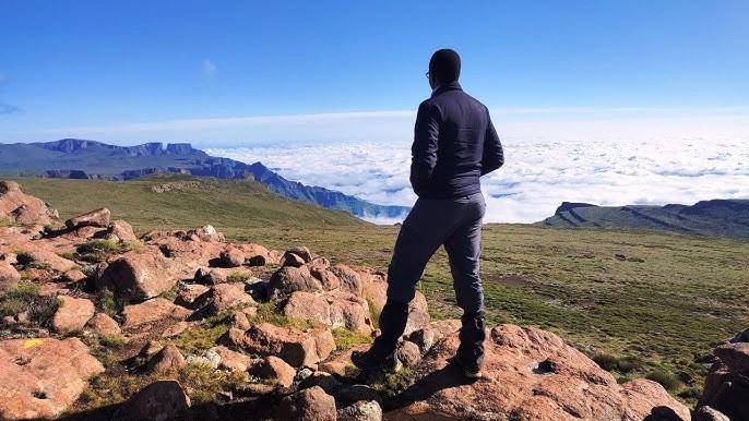
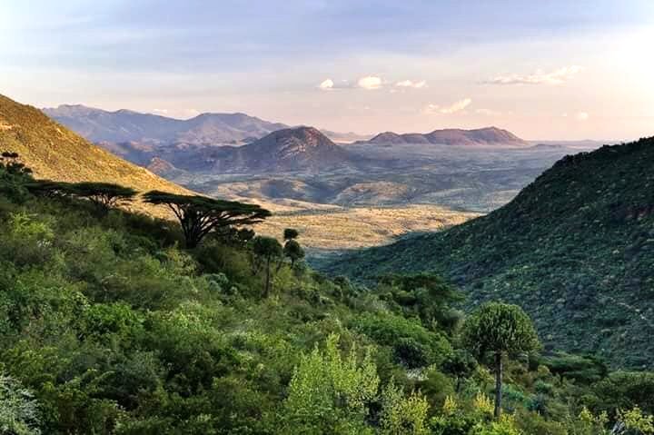
The adventure-lovers who hike up Mount Nyiru, in company of local Samburu guides, are rewarded with peerless cultural insights and mind-blowing vistas; Suguta Valley in the background, the Mowango Sowan Plains in the foreground, and in the middle distance sits the land which slopes towards the flat Rift Valley floor partly filled by Lake Logipi. This hikes are classified as moderate to hard owing to the isolation, extreme weather, and soft underfoot. For the romantics at heart, the rhapsodized over Desert Rose Lodge sits on the south-western slopes.
Kenya is blessed with a diverse range of natural landmarks, showcasing the country’s stunning landscapes and rich biodiversity. These natural landmarks represent Kenya’s breathtaking beauty and ecological diversity, making it a top destination for safari adventures, outdoor, and wilderness exploration.
图片



Reply