
Mount Kasigau(卡西高山)
导语
Mount Kasigau(卡西高山)位于泰塔塔韦塔县,属于Taita Hills / 高地文化。页面重点包括Mount Kasigau alongside Mount Sagalla and the central Taita Hills form the northernmost part of the Eastern Arc Mountains,由此展开当地地理、交通、文化和旅行背景。
正文
卡西高山(Mount Kasigau)位于泰塔塔韦塔县,可作为了解当地自然空间的一处入口。它的价值不只在于“到此一游”的景点标签,更在于把泰塔塔韦塔县的地理环境、城市生活、道路节点和地方记忆连接起来。
卡西高山最值得关注的是生态环境、植被景观、城市绿地价值和现场游览体验。对旅行者来说,判断一个地方是否值得停留,关键不只是名称本身,而是它与周边道路、城镇和其他目的地之间的关系。放在一条县域线路中阅读,卡西高山会显得更具体,也更容易被纳入实际行程。
从现有资料看,卡西高山的吸引力主要来自现场环境和地方背景。它适合用较慢的节奏停留:观察空间本身,理解它与泰塔塔韦塔县城市或乡村生活之间的关系,再结合照片和周边地点形成完整印象。
把卡西高山放进肯尼亚旅行语境中,它补足的是主流 safari 线路之外的县域细节。这里呈现的不是单一动物观赏或酒店体验,而是更日常、更具体的地方肯尼亚:城市绿地、社区空间、自然边界、历史痕迹和道路连接共同构成了目的地的真实质感。
因此,卡西高山适合作为泰塔塔韦塔县目的地资料中的一页:它帮助读者快速理解这个地点的基本定位,也为规划区域停留、补充现场照片和串联周边路线提供参考。适合关注自然观察、轻徒步、亲子活动和地方生态教育的读者,都可以从这里获得一个可靠的起点。
英文原文
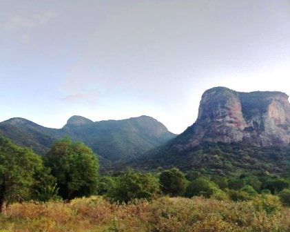
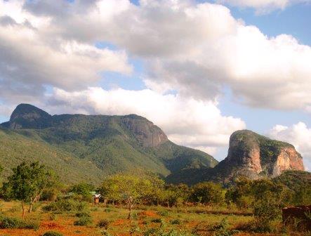
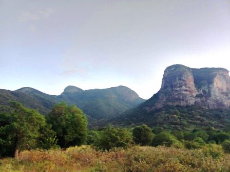
A system of inselbergs and hills, some limned as outliers of Taita Hills Complex, rise rather abruptly from Maungu Plains at some points like Sagalla, Kilibasi and Kasigau. Though not as conspicuous a roadside attraction as Sagalla lying just south of Voi in spitting distance of A109 Mombasa-Nairobi Road and the railway line, Mount Kasigau, 50 km south of Mount Sagalla, and 60 km due south of Voi, owes its distinction to the isolation within a bushland country and its rocky top capped by a thimble peak. It can be seen 20 km west of A109 Road near Maungu.
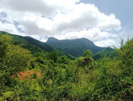
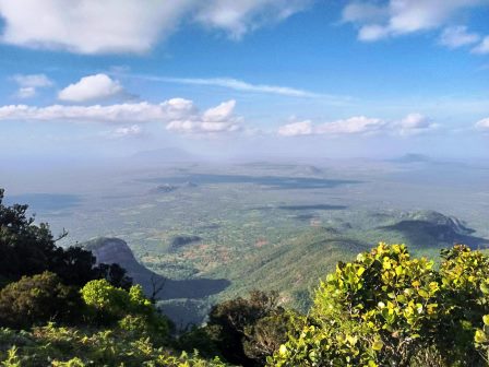
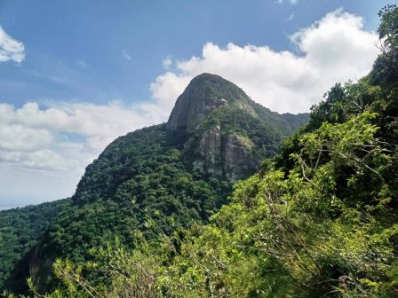
Granted that it is not directly part of the Taita Hills Complex, its geological origin is identical to that of the Dawida central massif. Its undisturbed vast closed canopy forest, restricted to the upper area, commences at an altitude of about 1400 and extends to the upper reaches (1641 m). It is delimited by bushland along its lower perimeter. Mount Kasigau alongside Mount Sagalla and the central Taita Hills form the northernmost part of the Eastern Arc Mountains and are the representation of this formation within Kenya. The landscape of Kasigau is easily walkable day-trip with good paths. It takes about 2,5 hours to reach the indigenous montane forest.
As with many of the Eastern Arc Mountains, this progression of hills [Sagalla, Kasigau and Taita] entail an unusually high variety of rare and endemic flora and receded fauna. Because of foregone and current population pressure, with the associated anthropogenic discredits, the remaining forest fragments are now small, scattered and are becoming more and more fragmented and degraded. Mount Kasigau has a high conservation value because it holds a large avi-faunal population. It is a biodiversity hotspot and an important headwater for streams.
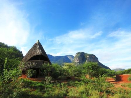
With no less than 135 recorded bird species, and flocks of over 80 birds not at all uncommon here, it is home to at least one of Taita Taveta’s endemic birds, the Taita White-eye. Avoiding the hotter parts of the day in the microclimate at the lower altitude of Kasigau that is a notch higher than pleasantly warm, hikers can ascend Mount Kasigau along existing footpaths usable as far as possible to the upper reaches where beautiful springs and rock pools make the effort worthwhile. Kivuli Camp in Rukinga Sanctuary and Kasigau Base Camp are useful launches.
图片



Reply