
Mektei Ridge(水系 / 湖泊 / 海岸)
导语
Mektei Ridge(水系 / 湖泊 / 海岸) 是 Abiri Kenya 站点 sitemap 之外、通过 WordPress Pages API 补齐的页面。原文摘要为:To the south, the rutted Mektei Ridge marks its southern boundary with Baringo County 中文稿按“水系 / 湖泊 / 海岸”方向整理,保留来源事实、原文链接和配图,作为中文发布前的完整底稿。
中文发布正文
位置与背景
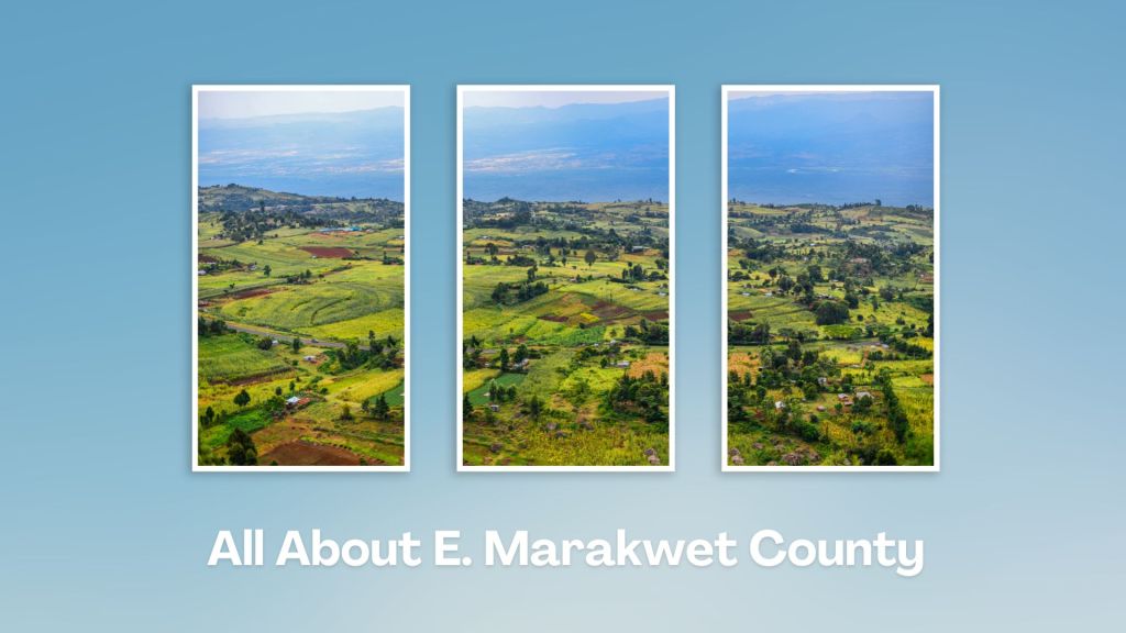
本页归入埃尔盖约-马拉奎特县。相关写作背景应放在Kerio Valley、Iten 高海拔训练、Elgeyo Escarpment、Marakwet 灌溉梯田和 Cherangani 高地中理解。若页面属于全国专题,则按肯尼亚旅行、历史、自然遗产或公共知识资料处理,不强行归入单一县域。
原文核心事实
- Natural Landmarks in Elgeyo Marakwet
- Mektei Ridge: The Rugged Southern Border
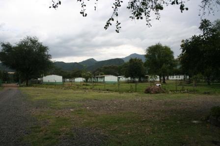
- Both ends of Elgeyo Marakwet County, north and south, are marked by steep upland ridges. To the north, the Cherangani Hills terminate its frontier along the boundary with West Pokot. To the south, the rutted Mektei Ridge marks its southern boundary with Baringo. Best seen along the Nyaru-Kabarnet Road or along the Eldama Ravine-Nyaru-Eldoret Road, the heavily wooded and deeply gullied Mektei Ridge, rising to 3,500 ms, clasps Metkei Forest – a dense forest with indigenous trees on top of a very steep escarpment – where the River Kerio has its source. From the Mektei Ridge, the land then falls in a sequence of steep slopes and level plateaus which dovetail with the Elgeyo Escarpment, thereafter culminating in the splendorous Kerio Valley which averages about 1,000 ms asl.
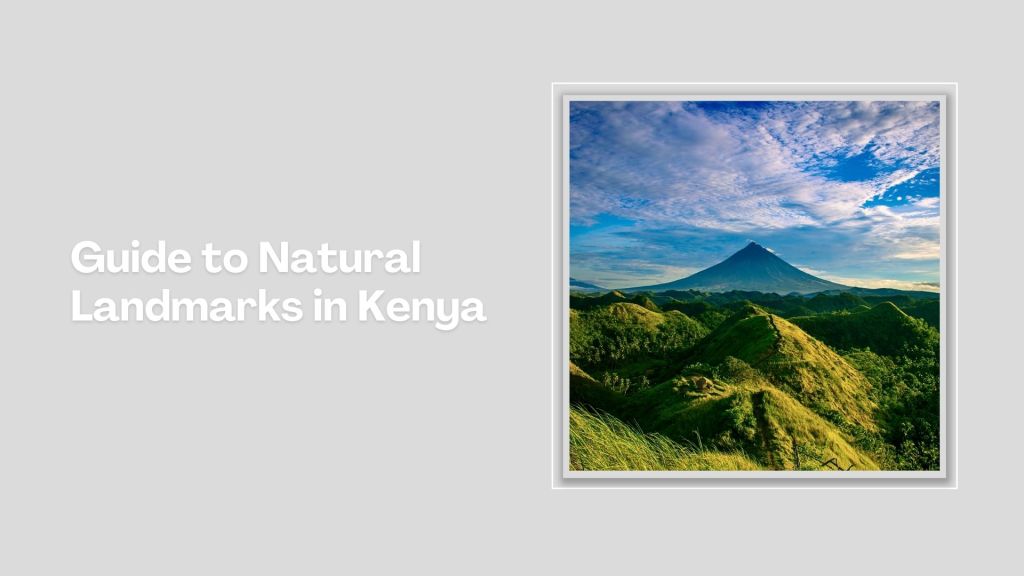
- Kenya is blessed with a diverse range of natural landmarks, showcasing the country's stunning landscapes and rich biodiversity. These natural landmarks represent Kenya's breathtaking beauty and ecological diversity, making it a top destination for safari adventures, outdoor, and wilderness exploration.
- Index of Natural Landmarks Around Kenya
中文整理要点
- 类型判断:水系 / 湖泊 / 海岸。
- 建议发布定位:埃尔盖约-马拉奎特县目的地 / 县域资料页。
- 写作时应保留原文提到的地点、人物、机构、路线、生态或历史线索,不要改写成未经核验的新景点介绍。
- 涉及保护区、森林、博物馆、宗教/社区空间、私营营地、边境、公路、矿区或考古遗址时,发布前必须再次核验开放状态、许可、安全和授权。
联网补全
- County Government of Elgeyo Marakwet: https://elgeyomarakwet.go.ke/
- 用途:用于核验 Kerio Valley、Iten 和县域行政背景。
- Kenya Tourism Board / Magical Kenya: https://magicalkenya.com/
- 用途:用于补充肯尼亚目的地、旅行产品和官方旅游传播口径。
- Kenya Forest Service: https://kenyaforestservice.org/
- 用途:用于核验森林保护区、森林站、生态许可和保护边界。
发布前注意
- 本页由 WordPress Pages API 补齐,不在 sitemap 1000 条结果内;来源链接已保留,发布时应优先核对原站是否仍公开可访问。
- 原文图片已按授权抓取到本地;正式发布前仍建议确认图片拍摄时间、人物肖像和第三方版权边界。
- 若页面涉及票价、开放时间、路线、安全、签证、健康、KWS/NMK/KFS 管理规则,应以最新官方页面为准。
图片
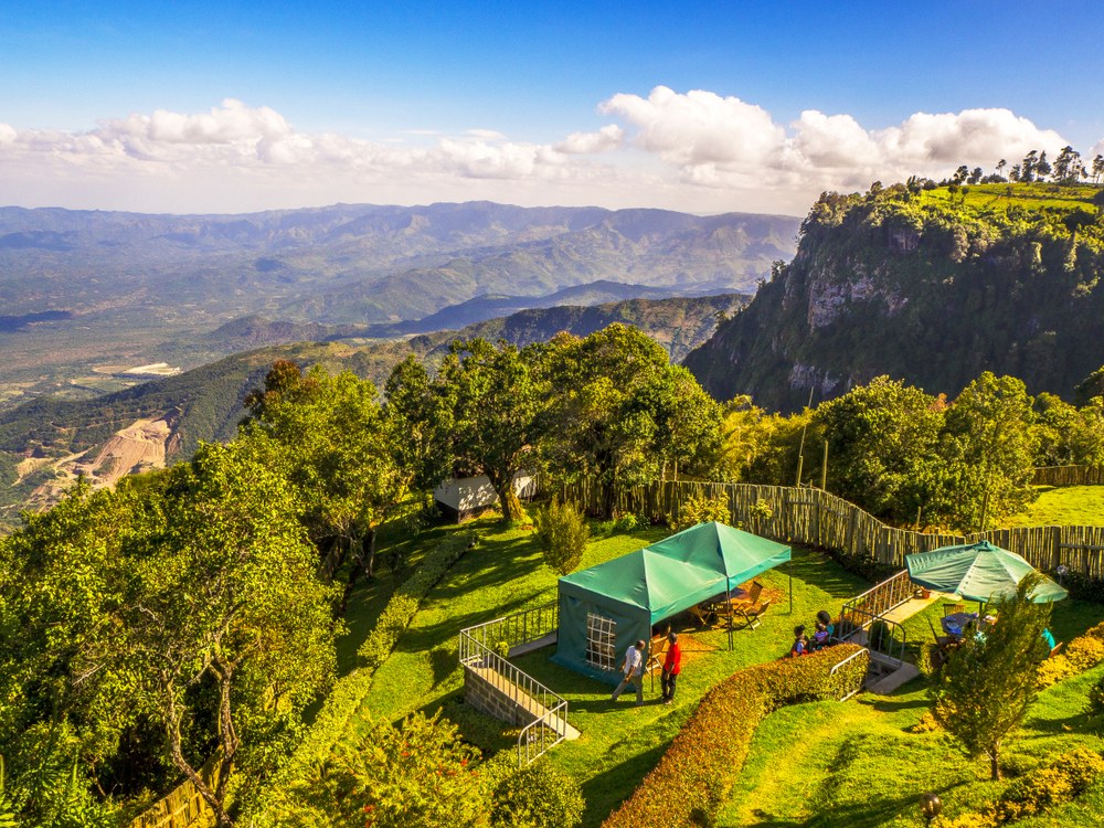
- 图片标题:Mektei Ridge
- 原图链接:https://thisiskenyahome.wordpress.com/wp-content/uploads/2024/01/mektei-ridge-1.jpg
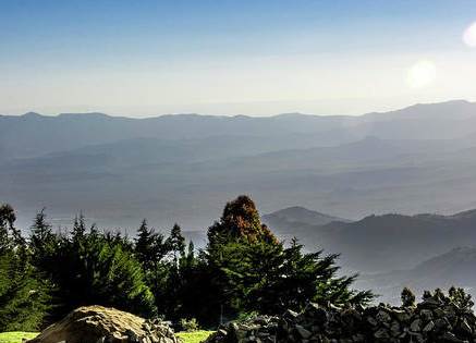
- 图片标题:Mektei Ridge
- 原图链接:https://thisiskenyahome.wordpress.com/wp-content/uploads/2024/02/mektei-ridge3.jpg
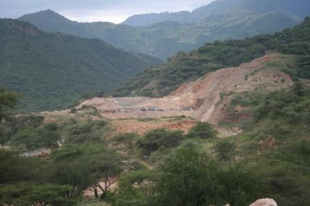
- 图片标题:Mektei Ridge
- 原图链接:https://thisiskenyahome.wordpress.com/wp-content/uploads/2024/02/mektei-ridge2.jpg
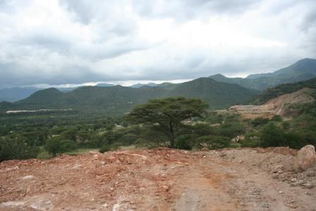
- 图片标题:Mektei Ridge
- 原图链接:https://thisiskenyahome.wordpress.com/wp-content/uploads/2024/02/mektei-ridge1.jpg
- 图片标题:Mektei Ridge
- 原图链接:https://thisiskenyahome.wordpress.com/wp-content/uploads/2024/02/mektei-ridge.jpg
- 图片标题:Mektei Ridge
- 原图链接:https://abirikenya.com/wp-content/uploads/2023/10/guide-to-natural-landmarks-in-kenya-7.jpg?w=1024

- 图片标题:Mektei Ridge
- 原图链接:https://abirikenya.com/wp-content/uploads/2024/09/links-2-9.png
- 图片标题:Mektei Ridge
- 原图链接:https://abirikenya.com/wp-content/uploads/2023/12/e.-marakwet-county-media-updated.jpg?w=1024

- 图片标题:Mektei Ridge
- 原图链接:https://abirikenya.com/wp-content/uploads/2024/09/links-2-8.png
- 图片标题:Mektei Ridge
- 原图链接:https://thisiskenyahome.wordpress.com/wp-content/uploads/2019/02/pexels-photo-2952663.jpeg
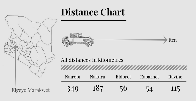
- 图片标题:Mektei Ridge
- 原图链接:https://thisiskenyahome.wordpress.com/wp-content/uploads/2023/12/elgeyo-marakwet-county-distance-chart-3-1.png?w=800
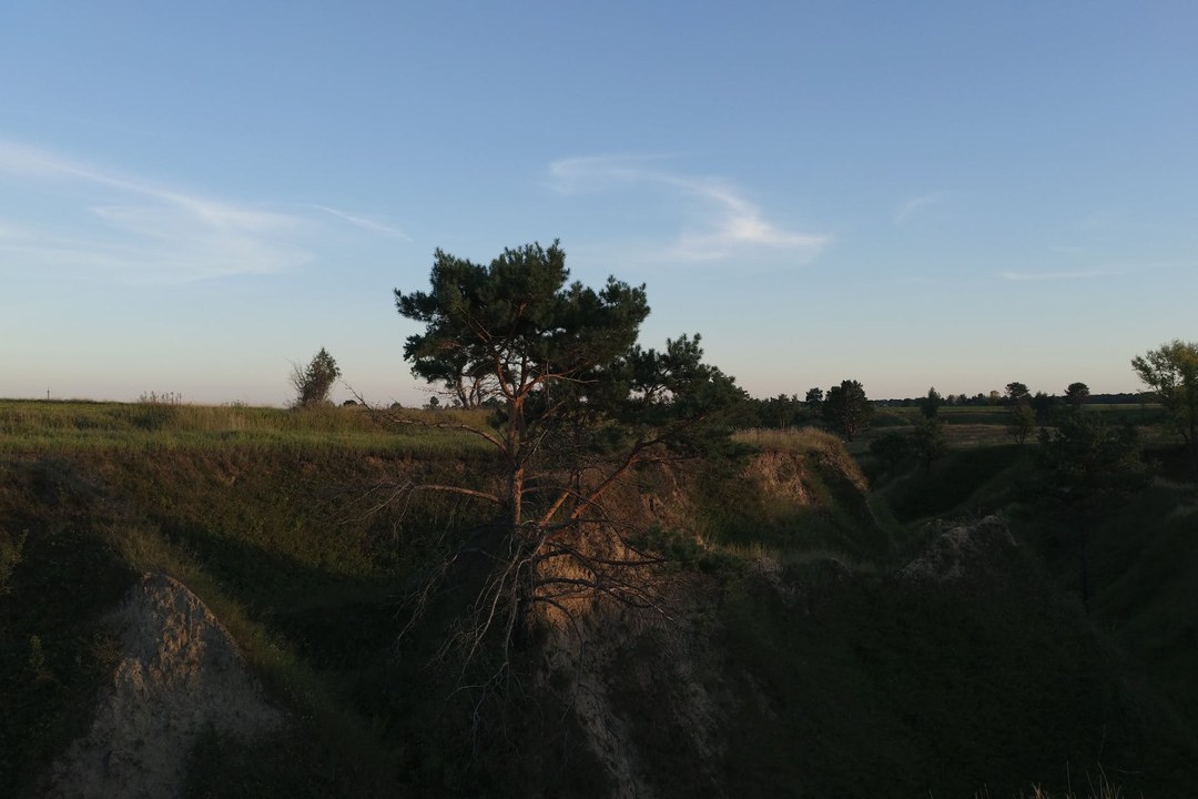
- 图片标题:Mektei Ridge
- 原图链接:https://thisiskenyahome.wordpress.com/wp-content/uploads/2019/02/pexels-photo-5823169.jpeg
来源
- Abiri Kenya 原页面:https://abiri.home.blog/counties/elgeyo-marakwet-county/mektei-ridge/
- County Government of Elgeyo Marakwet: https://elgeyomarakwet.go.ke/
- 用途:用于核验 Kerio Valley、Iten 和县域行政背景。
- Kenya Tourism Board / Magical Kenya: https://magicalkenya.com/
- 用途:用于补充肯尼亚目的地、旅行产品和官方旅游传播口径。
- Kenya Forest Service: https://kenyaforestservice.org/
- 用途:用于核验森林保护区、森林站、生态许可和保护边界。


