
Marania Route(马拉尼亚路线)
导语
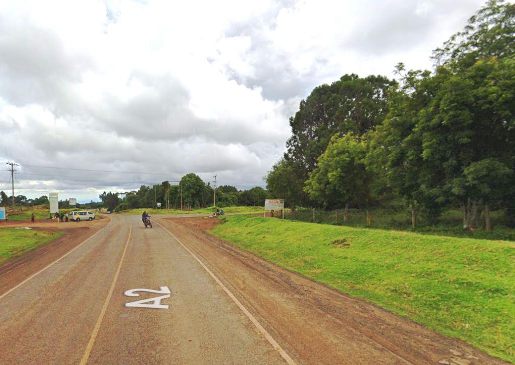
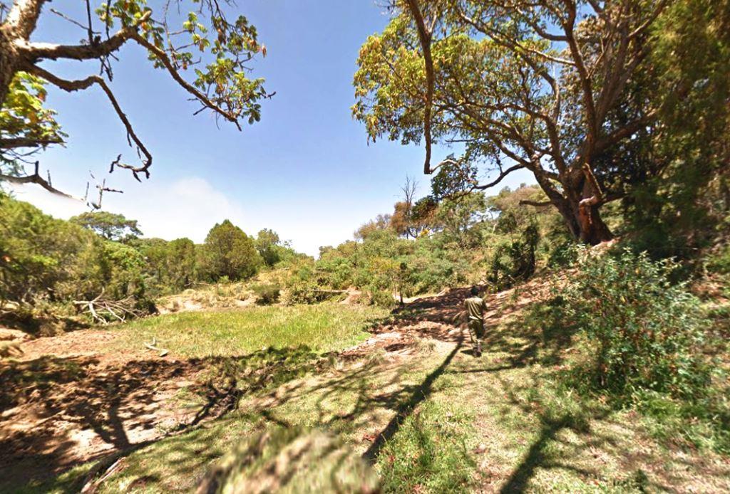
Marania Route(马拉尼亚路线)位于梅鲁县,属于Mount Kenya / 高山路线。页面重点包括Marania Route passes through Mount Kenya Forest up to the Kenya School of Adventure and Leadership (KESAL) onto the moorland of thick shrubs and glades,由此展开当地地理、交通、文化和旅行背景。
正文
马拉尼亚路线(Marania Route)位于梅鲁县,可作为了解当地地方目的地的一处入口。它的价值不只在于“到此一游”的景点标签,更在于把梅鲁县的地理环境、城市生活、道路节点和地方记忆连接起来。
马拉尼亚路线最值得关注的是地理位置、到达方式、现场体验和周边可串联内容。对旅行者来说,判断一个地方是否值得停留,关键不只是名称本身,而是它与周边道路、城镇和其他目的地之间的关系。放在一条县域线路中阅读,马拉尼亚路线会显得更具体,也更容易被纳入实际行程。
从现有资料看,马拉尼亚路线的吸引力主要来自现场环境和地方背景。它适合用较慢的节奏停留:观察空间本身,理解它与梅鲁县城市或乡村生活之间的关系,再结合照片和周边地点形成完整印象。
把马拉尼亚路线放进肯尼亚旅行语境中,它补足的是主流 safari 线路之外的县域细节。这里呈现的不是单一动物观赏或酒店体验,而是更日常、更具体的地方肯尼亚:城市绿地、社区空间、自然边界、历史痕迹和道路连接共同构成了目的地的真实质感。
因此,马拉尼亚路线适合作为梅鲁县目的地资料中的一页:它帮助读者快速理解这个地点的基本定位,也为规划区域停留、补充现场照片和串联周边路线提供参考。适合希望理解肯尼亚县域目的地的读者,都可以从这里获得一个可靠的起点。
英文原文
Geography, Land-Use, Highlights, Population, Roads, Airports, Climate & National Monuments in Meru County
Meru County’s position on the eastern slopes of Mount Kenya and the equator has highly influenced its natural conditions and economic prospects. Altitude ranges from 300m to 5,199m asl. This has influenced the atmospheric conditions leading to a unique variation of micro climates and agro-ecological zones. The drainage pattern in marked by rivers and streams originating from catchment areas such as Mt. Kenya and Nyambene Range. These cut through the hilly terrain on the upper zones to the lower zones and drains into the Tana and Uwaso Nyiro Rivers. The rivers form the principal source of water for both domestic and agricultural use.
The major land use in Meru County is mainly for agricultural activities for both crops farming and livestock-keeping. Other uses include cultural and forestry conservation. There are large scale farming carried out by private companies in Timau. These are mainly for wheat farming with Kisima being the largest in the county. Livestock farming is also done on group ranches in Tigania and Igembe. These existing resources are not likely to be able to sustain Meru’s tremendous growth rate of population. As such, there is a likelihood that the land will not be able to provide employment for growing population. The people are likely to be pushed out of the fragile agricultural economy that’s no longer expandable. The population increase will inevitably lead to increasing fragmentation of the land.
Tourism industry is fairly developed in Meru County, with Meru National Park being the major tourist site. Lewa conservancy, that’s privately owned, attracts tourists and competitive sports like cross country, rhino charge and marathon. The county also has Mt. Kenya which is a major tourist destination. The diverse cultures and heritage among the Ameru community are another form of tourist attraction such as conservation of traditional worship places by Nchuri-Ncheke.
图片



Reply