
Kinangop Plateau(金南戈普高原)
导语
Kinangop Plateau(金南戈普高原)位于年达鲁阿县,属于高原 / 裂谷观景。页面重点包括Simply stated, Kinangop Plateau is the region Nyandarua County lying between the Great Rift Valley to the west and the Aberdare Range to the east,由此展开当地地理、交通、文化和旅行背景。
正文
金南戈普高原(Kinangop Plateau)位于年达鲁阿县,可作为了解当地地方目的地的一处入口。它的价值不只在于“到此一游”的景点标签,更在于把年达鲁阿县的地理环境、城市生活、道路节点和地方记忆连接起来。
金南戈普高原最值得关注的是地理位置、到达方式、现场体验和周边可串联内容。对旅行者来说,判断一个地方是否值得停留,关键不只是名称本身,而是它与周边道路、城镇和其他目的地之间的关系。放在一条县域线路中阅读,金南戈普高原会显得更具体,也更容易被纳入实际行程。
从现有资料看,金南戈普高原的吸引力主要来自现场环境和地方背景。它适合用较慢的节奏停留:观察空间本身,理解它与年达鲁阿县城市或乡村生活之间的关系,再结合照片和周边地点形成完整印象。
把金南戈普高原放进肯尼亚旅行语境中,它补足的是主流 safari 线路之外的县域细节。这里呈现的不是单一动物观赏或酒店体验,而是更日常、更具体的地方肯尼亚:城市绿地、社区空间、自然边界、历史痕迹和道路连接共同构成了目的地的真实质感。
因此,金南戈普高原适合作为年达鲁阿县目的地资料中的一页:它帮助读者快速理解这个地点的基本定位,也为规划区域停留、补充现场照片和串联周边路线提供参考。适合希望理解肯尼亚县域目的地的读者,都可以从这里获得一个可靠的起点。
英文原文
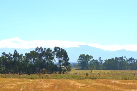
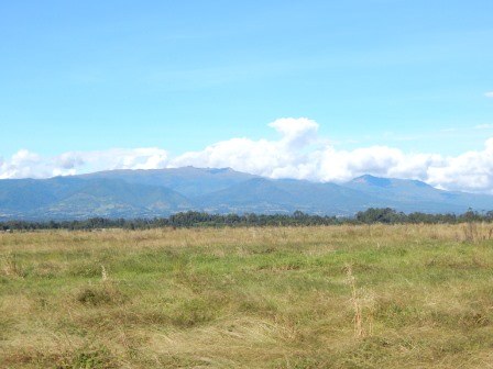
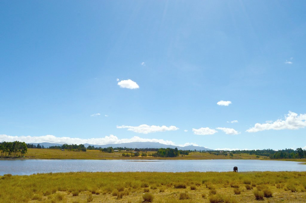
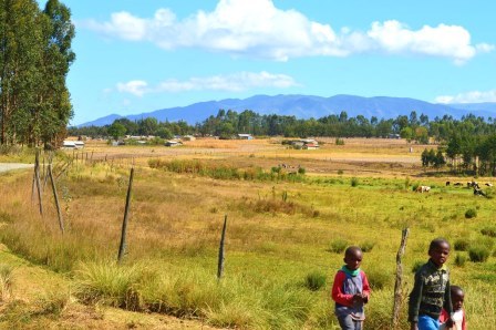
Simply stated, Kinangop Plateau is the region Nyandarua County lying between the Great Rift Valley to the west and the Aberdare Range to the east. A near level peneplain end-to-end, with altitude of between 2400 and 2700 m asl, it covers about 770 km2. Rising prominently in the horizon, the scarp of the vast Aberdares forms the north eastern limit, with a steep drop to the Rift Valley floor in the west. The eastern limit is by and large a forest reserve. Naivasha-North Kinangop Road forms the north western reach. Mount Longonot, the source of recent volcanic ash sprinkling at Kinangop, in seen the far. background. It is a valley of terrific beauty.
So that the general outlook of the Kinangop plateau, encompassing the areas of South Kinangop, Bamboo, Njabini, Githioro, Karati, Muruaki and Tulaga, is one of a flat caouldron flanked by mountains, only sloping gradually upwards towards the foothills of the Aberdares. Over and above its scenic beauty, within the Kinangop plateau lies its salient highland grasslands, a major stronghold of the endangered Sharpe’s longclaw. A drawback is that the area consist almost entirely of privately owned land. And as human population in the grasslands grows, the mean acreage of land holdings decreases and more grassland is being converted into farmland.
Thanks to its altitude and good climate, Kinangop plateau is rich farming land that has attracted farmers from within and outside Central Kenya. In the last decade, hundreds fleeing the the eke-named ‘ethnic clashes’ in other parts of the country settled in Kinangop, driving up the population growth rate and the value of land. The main inhabitants are the agrarian based Kikuyu people, whose subsistence revolve around small-scale farming, with dairy farming being the main income-earner. Production and marketing of the agricultural produce from Kinangop area thrived during 1975 and 1976, nearly a decade after the resettlement of its natives.
Before 1961, this was part of the area formerly called the “white highland” that was later renamed “Kenya highland”. Prior to independence, in 1963, Kinangop plateau was subject to the 1939 Kenya Ordinance in council which barred the indingeous Kenyan from owing land in the area. It is only from 1961 onwards that all Kenyan races were allowed to own and farm in the area. Before the promulgation of the Ordinance the primary line of agricultural development in the area was dairy and sheep farming with a few patches of cultivated pyrethrum, wheat and fruit trees.
图片



Reply