
Kerio Valley
Kerio Valley 是巴林戈地貌旅行中的一个鲜明坐标。它适合放在大裂谷北段的整体背景中理解:断崖、河谷、火山岩、湖泊和高地道路共同塑造了这里的景观。
巴林戈县正在以湖泊、火山、河谷、洞穴、森林、温泉和社区保护地形成一条很完整的地质与自然旅行线路。把单个地点放回这条线路里,游客会更容易明白它为什么值得停留,也更容易安排合理路线。
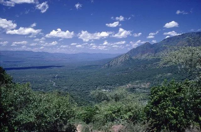
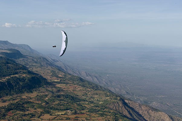
裂谷地貌的看点在于空间感:断崖、河谷、山脊、火山岩、平原和远处湖面,会让游客直接感受到东非大裂谷的尺度。
游览 Kerio Valley 时,最好先找一个安全开阔的位置停下来,观察远处和近处的关系:山脊、河谷、道路、岩层、湖面和村落如何组合在同一个画面里。
Kerio Valley 的地貌要放在 Kerio River(凯里奥河)水系里看:河流长期切割谷地,形成峡谷、河岸、断崖或冲积平原,也让这里成为观察裂谷地貌变化的现场。
鸟类是巴林戈旅行的重要看点。清晨和傍晚光线更柔和,也更适合观察湖岸、林缘、灌丛和湿地中的鸟类活动。
几个关键数字可以帮助你预估现场尺度和行程节奏:80 km、1000 m。这些数字不只是冷冰冰的参数,它们会直接影响停留时间、拍摄距离、车辆安排和当天是否需要预留更多路程缓冲。
裂谷观景点更适合以“停留观察”而不是“长时间消耗体力”的方式体验。找一个安全、开阔、脚下稳定的位置,比盲目靠近边缘更重要。
巴林戈不是单一族群地区,Tugen、Pokot、Ilchamus、Turkana 等社区在牧业、湖岸生活、市场和节庆中留下了不同的地方性格。
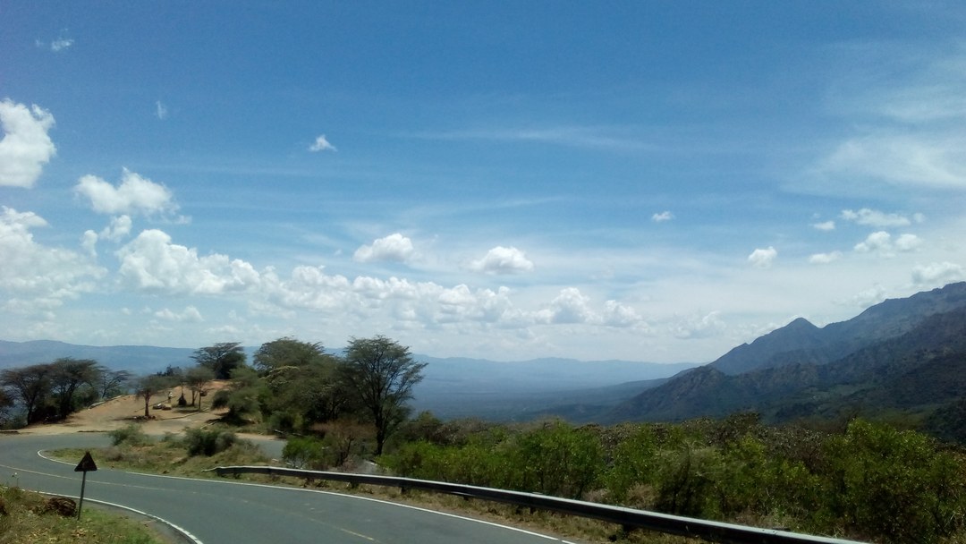
到 Kerio Valley 不要只看地图直线距离,更要看道路类型和当天路况。巴林戈的高地、湖岸和半干旱平原之间海拔和地表差异很大,同样几十公里,体验可能完全不同。如果时间有限,它也适合作为顺路停留点;重点不是停得越久越好,而是看懂它与周边城镇、道路和地貌的关系。
Kerio Valley 最适合作为大裂谷地貌线路中的一站,与湖区、城镇、峡谷、山脊或保护地顺路组合。游客不需要把它当成孤立目的地,而应把它当成理解巴林戈空间尺度的一处现场证据。
实际出行时,可以把 Kerio Valley 的停留时间分成三部分:先在安全位置建立整体印象,再根据光线、天气和向导意见选择拍摄或步行范围,最后留一点时间观察当地人的使用方式。这样体验下来,游客记住的就不只是“这里很美”,而是它为什么会形成现在的样子。
更适合 Kerio Valley 的旅行方式,是把它当作巴林戈整体线路的一部分:前后衔接 Lake Baringo、Lake Bogoria、Kerio Valley、Kabarnet、Marigat 或周边保护地时,游客会更容易理解这里为什么值得停留。
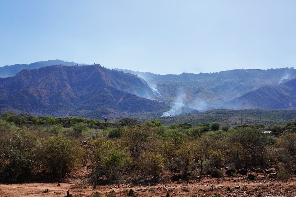
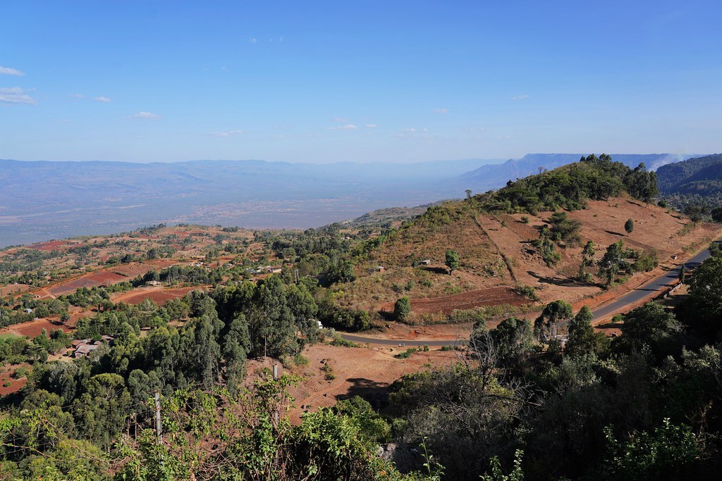
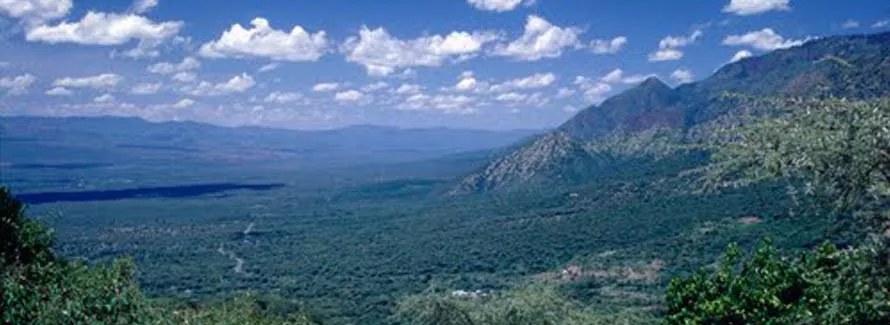
Of the fifty National Parks and Reserves around Kenya – big, small, famous, little-known – Kerio Valley National Reserves takes the crown for its focal point; a landmark that serves as a reference point in the park. The park gets it name from the Kerio Valley, a vast 80 km long platteland set hard on a fairly flat resplendent lowland between Elgeyo Escarpment and Tugen Hills, on an elevation of 1000 m.
Viewed from vantage point, and there are several great ones including the one at Iten, the view of Kerio Valley comes with all the credentials of a memorable view. It is widely photogenic, interspersed by wonderful rolling hills, and complete with a winding black-top road to take it all in. Known for its stunning landscapes and the Kerio River, which flows through it, Kerio Valley, a branch of the Great Rift Valley in north-western Kenya, is arguably the most dramatic scenery in Baringo.
The Kerio Valley is home to a variety of wildlife, including birds, baboons, and other small mammals. It is not a major wildlife destination like some of Kenya's national parks, but it still offers interesting opportunities for the nature lovers. What it lacks it prolific wildlife resources and amenities is made up for by the scenic beauty and geological features. It is a natural tourist attraction of its kind.
It stretches out northwards from Kimwarer, near the head of Kerio River, to Chesegon, at the base of Cherangani Hills and to the border between Elgeyo Marakwet and West Pokot. The Kerio River flows through the valley and has carved a deep gorge. The river's course through the valley has contributed to the formation of its unique landscape. It the singular life line in the valley to boot.
The climate in Kerio Valley is generally hot and dry, with relatively lower rainfall compared to other parts of Kenya. The valley's climate is influenced by its low elevation and location in the Rift Valley. It has semi-tropical vegetation on the slopes, while the sun-soaked floor of the valley is covered by dry thorn bush.


