
Irong Conservancy
Irong Conservancy 是理解巴林戈社区保护地体系的一站。这里的重点不是传统意义上的封闭公园,而是牧民社区、草地生态、野生动物通道和地方收益之间的平衡。
巴林戈的保护地和森林与东非经典国家公园不同,它们更贴近社区生活。牧场边界、蜂蜜生产、放牧季节、野生动物通道和社区项目会同时出现;游客如果只把这里当成“找动物”的地方,反而会错过它真正有意思的部分。
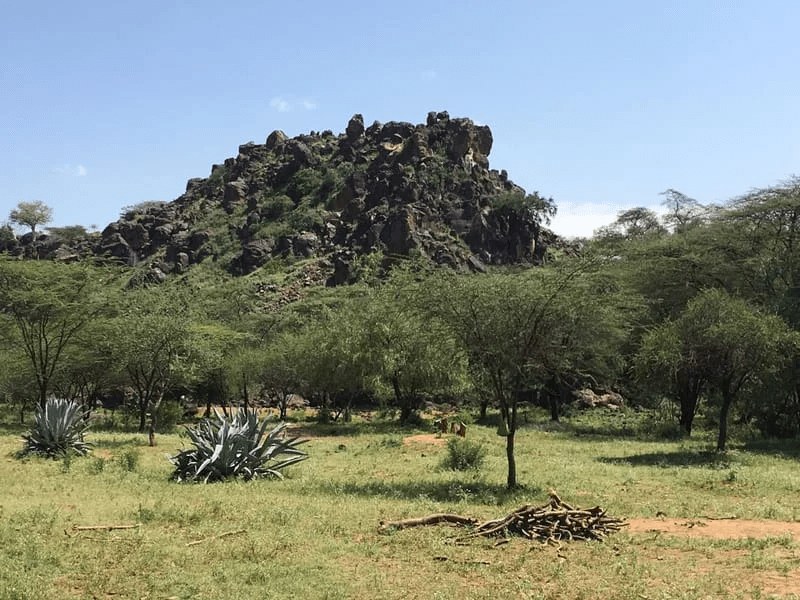
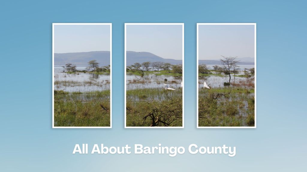
社区保护地的重点,是把野生动物栖息地、牧民放牧、草地恢复和社区收入放在同一张地图上理解。游客进入这里,不只是寻找动物,也是在看人和土地如何共存。
游览 Irong Conservancy 时,可以把注意力放在四件事上:动物从哪里来、社区如何使用土地、旱季水源在哪里、保护地如何给当地人带来收入。这样看保护地,会比单纯问“能不能看到大动物”更接近当地真实情况。
Lake Bogoria 通常与火山活动、温泉、喷气孔、火烈鸟和碱性湖岸联系在一起;如果时间允许,可以把它与 Lake Baringo、Marigat 或 Kabarnet 一起安排。

Greater Kudu(大捻角羚)是巴林戈保护地和灌丛地貌中很有代表性的物种,看到它往往比看大型猫科动物更依赖耐心和向导经验。
几个关键数字可以帮助你预估现场尺度和行程节奏:51、2008、145、2.5、3、20 km、5 km、45。这些数字不只是冷冰冰的参数,它们会直接影响停留时间、拍摄距离、车辆安排和当天是否需要预留更多路程缓冲。
游览时最好由当地向导带路。不同季节的植被、水源和道路会影响动物活动,也会影响车辆能否深入保护地。
鸟类是巴林戈旅行的重要看点。清晨和傍晚光线更柔和,也更适合观察湖岸、林缘、灌丛和湿地中的鸟类活动。
湖岸活动必须与河马、鳄鱼保持距离;乘船、靠近水边拍照或夜间移动,都应听从当地船工、营地或向导安排。
到 Irong Conservancy 不要只看地图直线距离,更要看道路类型和当天路况。巴林戈的高地、湖岸和半干旱平原之间海拔和地表差异很大,同样几十公里,体验可能完全不同。进入保护地或森林时,最好让当地向导判断路线;他们更清楚季节性水源、动物活动、社区边界和车辆能否通过。
Irong Conservancy 更适合与湖区、村落访问或附近观景点组合,而不是单独绕很远只停十几分钟。预留半天会更从容:一部分时间看地貌和动物线索,一部分时间听向导讲社区如何管理草场、水源和野生动物。
实际出行时,可以把 Irong Conservancy 的停留时间分成三部分:先在安全位置建立整体印象,再根据光线、天气和向导意见选择拍摄或步行范围,最后留一点时间观察当地人的使用方式。这样体验下来,游客记住的就不只是“这里很美”,而是它为什么会形成现在的样子。
更适合 Irong Conservancy 的旅行方式,是把它当作巴林戈整体线路的一部分:前后衔接 Lake Baringo、Lake Bogoria、Kerio Valley、Kabarnet、Marigat 或周边保护地时,游客会更容易理解这里为什么值得停留。
Wildlife Conservancies in Baringo
This is Baringo County’s newest Wildlife Conservancy . It spreads over 51 square kilometres northeast of Lake Bogoria National Reserve, atop the well-appointed Irong Hill, and it was created in 2008 when communities in Kapkuikui, Loboi, Kamar and Kaibosoi, in Mochongoi and Emining wards in Marigat and Mogotio Sub-counties, set aside the area as community land.
Irong itself is part of three conservancies – along with Kiborgoch and Chuine Community Conservancies – covering a total of 145 square kilometres that have received direct support of Kshs 2.5 to 3 million each to implement priority projects, from KWCA, which serves as a strategic partner to develop their governance, financial management capacities and provide technical support. Irong is approachable from Marigat by a 20 km drive on B4 Nakuru-Sigor Road and then a short ride of about 5 km, through Kaptim.
The Irong Hill, from which the Conservancy takes its name, is one the significant highlights, overlooking the drainage and ecosystem of Lake Bogoria National Reserve and Perkerra Irrigation Scheme. Irong Community Conservancy and Kiborgoch wetland conservancy cover two distinct habitats, a gradient sloping from the top of the culturally revered Irong Hill to the wetland. These make a grazing and watering area reserved by community elders for communal use.
The wetlands’ vital role is to retain and moderate the flow of water from the neighbouring rivers. Irong, and especially within its forested areas, is home to a variety of wildlife, ergo part of the reasons for its formation was to safeguard the migratory corridor for the Greater Kudu as well as provide a safe habitat for their growth. Others species sighted here include dik dik, hyrax, waterbuck, zebra, sitatunga, hippo and more than 45 bird species.


